Wind Power Park inspection for Veidekke
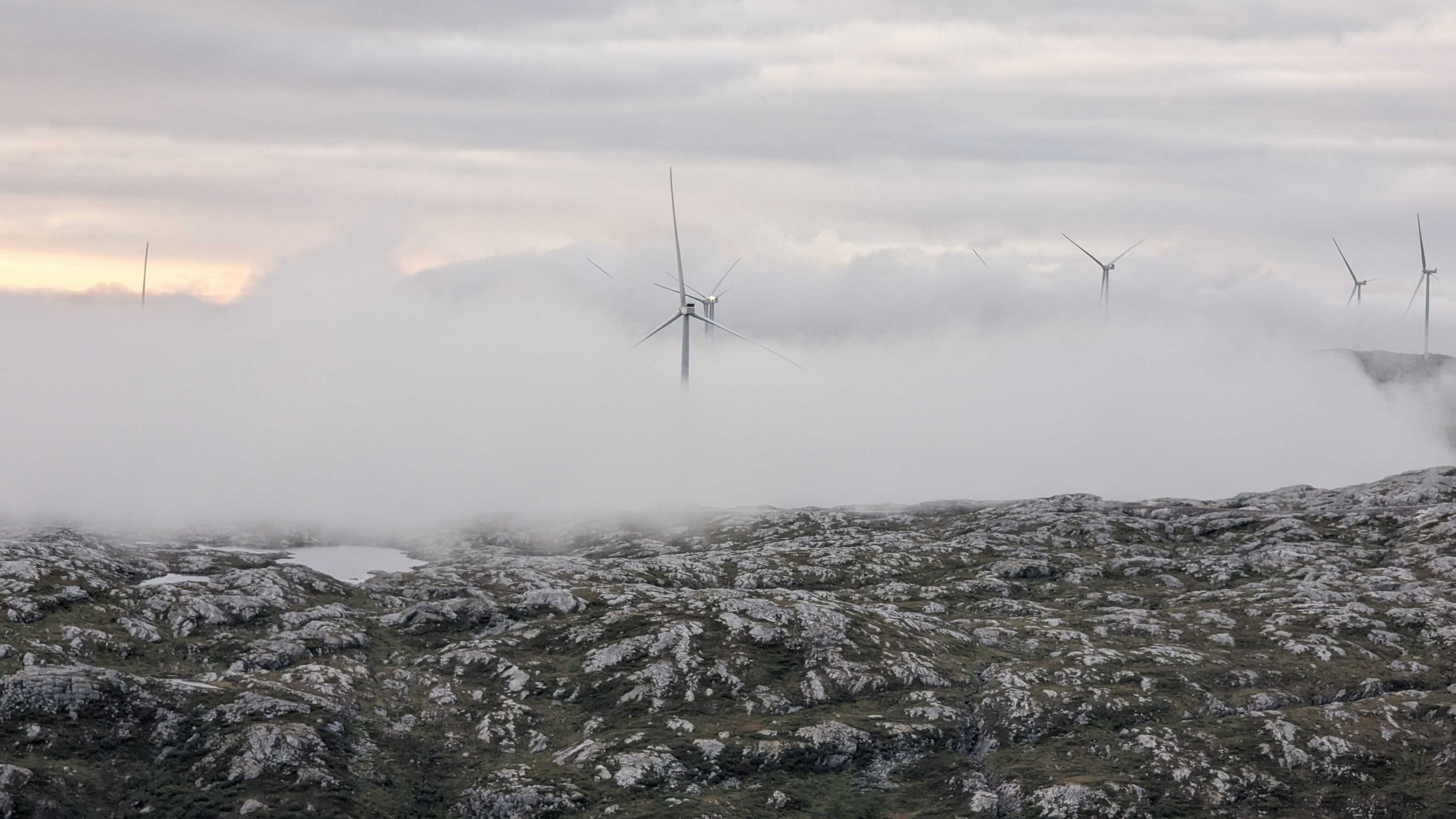
Øyfjellet Wind Power Park has 72 turbines producing approximately 1320 GWh of renewable energy annually, which is enough power to meet the needs of 73 percent of residents in Nordland County, Norway.
The project
Scandinavian contractor Veidekke completed construction work at the Øyfjellet Wind Power Park in mid-2023 and needed to deliver finished data for roads and turbine sites. The construction area comprised 65 kilometers of roads and 72 turbine sites in a mountainous area at around 700 meters. Field's role was to laser scan the construction area to deliver (SOSI format) files of road edges, ditches, cutoffs, and fill footings as line objects and 3D models. Accuracy requirements for the models were +/- 5 cm and a point density of a maximum of 5 cm between each point.
The challenge
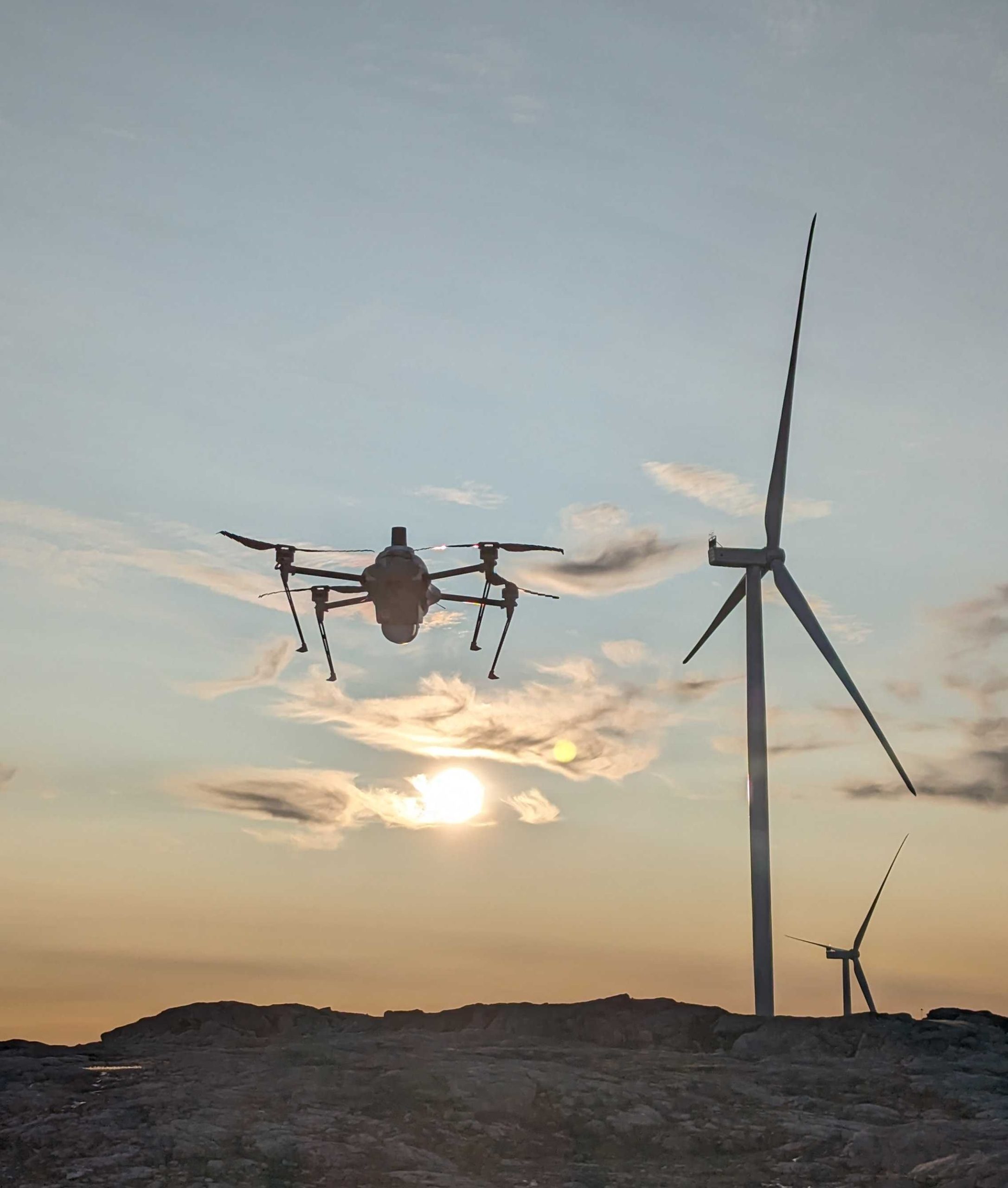
The project presented four main challenges. The remote location limited mobile coverage, making capturing data difficult. The ground model could only be created during the warmer months when no snow was on the ground, making the tight schedule tighter. Part of the construction area was located within the approach area to Mosjøen Airport, so the Field team needed to seamlessly coordinate work with airport management. Another interesting challenge was performing laser scanning while the wind turbines were operational. This required specialist technology and expertise to weave BVLOS (beyond visual line of site) drones between and around rotating turbine rotors over all 72 sites. (Note: Field drone services now operate under a separate business entity: Stellaire).
The solution
Good stakeholder management and open communication with Mosjøen Airport ensured quick, safe, and efficient project delivery. The project team opted to use Field’s ultra-modern drone, Urban Explorer, because it delivers high-precision data sets in a package weighing less than 4 kg. The Urban Explorer’s long-range capacity and fully automated data capture while flying BVLOS proved very useful, ensuring smooth project delivery in only a few days. Data collected from the field was sent via a cloud-based solution to the Field processing team, who immediately started work on the datasets. Field’s proprietary software TerraPos and TpMatch helped guarantee the model’s accuracy.
The benefits
Field overcame many challenges to deliver accurate geodata insights quickly and sustainably. The data capture was carried out exclusively with electric vehicles and drones, and the carbon footprint was minimal. Veidekke received detailed data and models quickly and efficiently, providing critical insight into the construction area.
Geospatial solutions powered by software, sensors, and AI technologies
Join us and help capture and transform accurate geospatial data into valuable insights and digital twins.