Industries
High-quality, multi-dimensional information is critical for planning, building and maintaining infrastructure. With our survey and data acquisition capabilities there are endless possibilities to deliver terrain models, databases for planning, 3D models of buildings, cities, infrastructure, and more for the needs of construction and infrastructure sector.
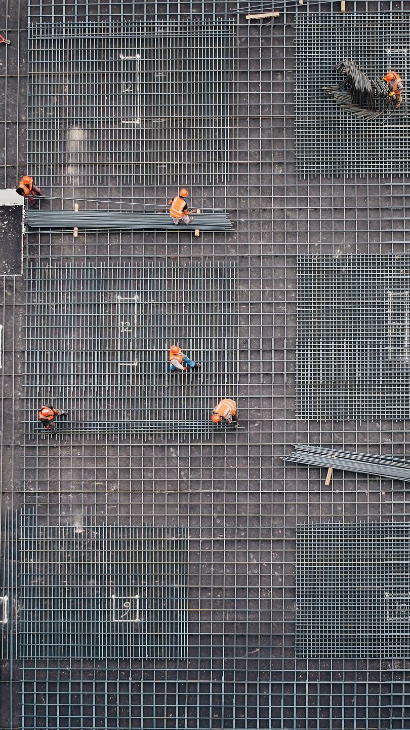
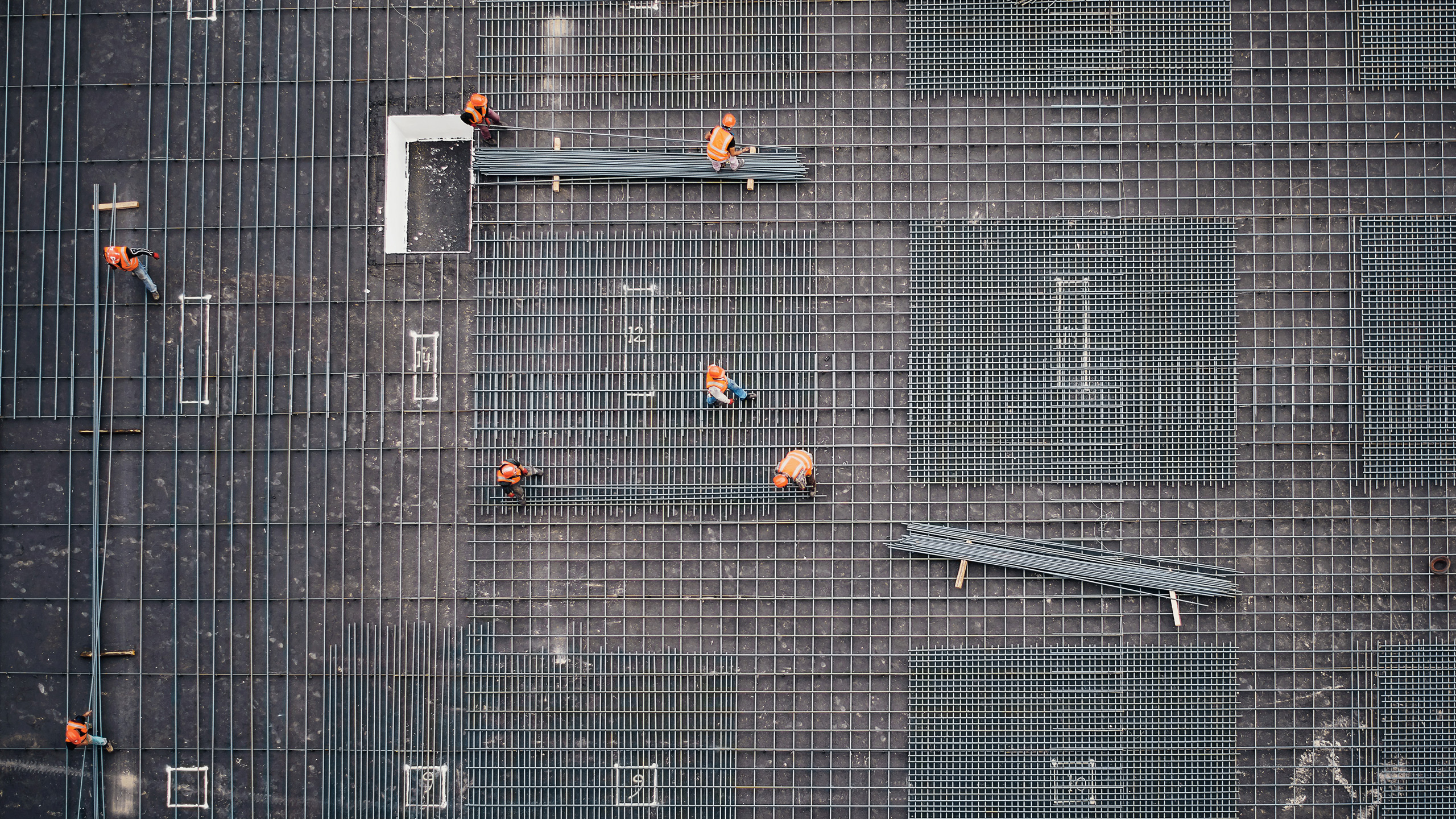
Buildings & properties
We assist our clients in all the various faces of the property development and building process. We will be a complete partner to you within geomatic services.
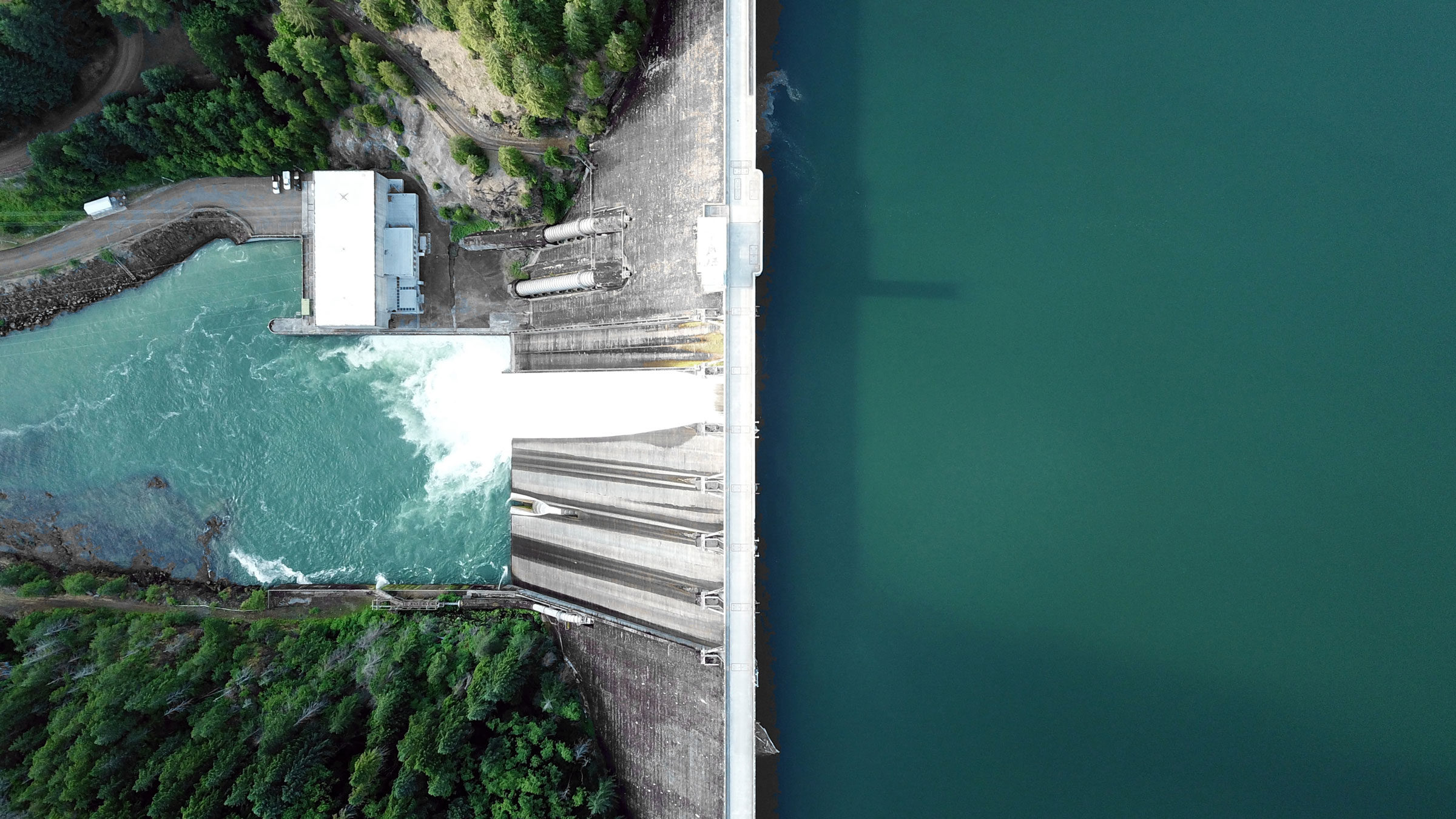
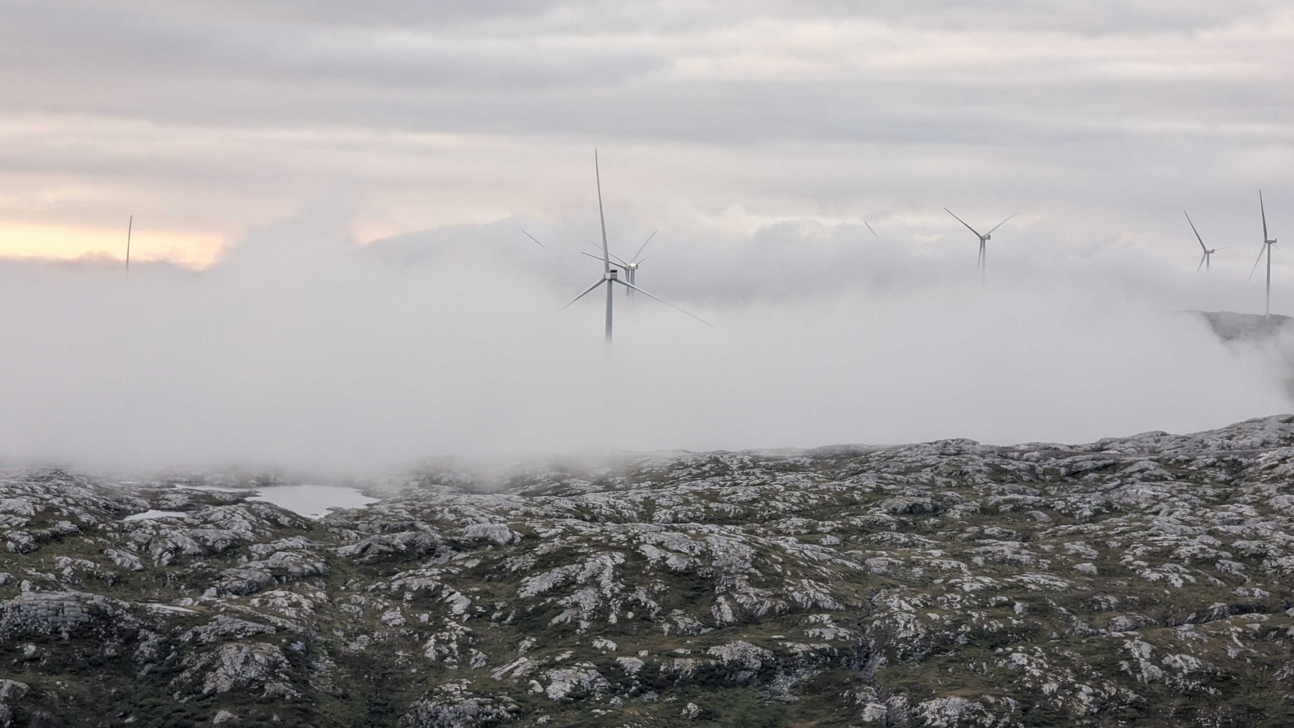
Energy & utilities
At Field, we provide energy & utility companies with a safe and efficient way to monitor the condition of their infrastructure.
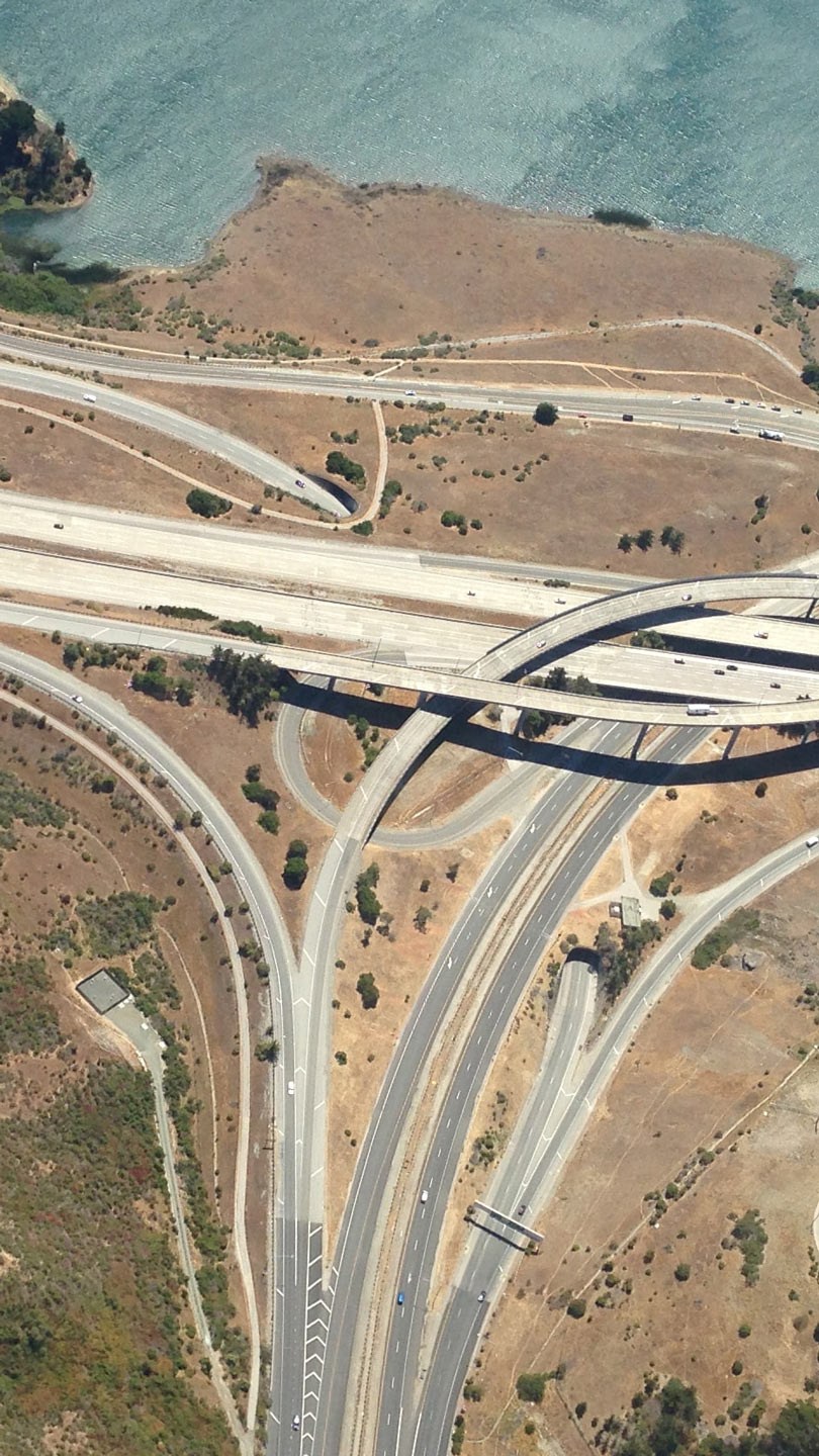
Road
Road authorities and construction firms use our services when planning new roads and modification projects of existing infrastructure.
Rail
An accurate digital terrain model is an essential starting point for planning and maintaining linear infrastructure, such as a railroads.
We deliver services critical to earth for a better tomorrow
Buildings & properties
Data and insights needed to build and maintain a better tomorrow.
We assist our clients in all the various faces of the property development and building process. In relation to your property, we support you with land acquisition, legal support and cadastral surveys based on our long experience in this field. In the building process we assist you in all steps of the construction face, from accurate documentation in an early stage, survey services during construction face and too as built documentation in a final stage. We will be a complete partner to you within geomatic services.
Capabilities
Land and property consultancy

Field’s land and property specialists provide cadaster, land acquisition and building application services. Our customers are mostly government departments and municipalities and property developers. We have a highly skilled team ready to help with land and property services in Norway.
Land surveying

Land surveying plays an important role in the planning and execution phase for most infrastructure and construction projects around the world. The technique determines the accurate geographical three-dimensional position of points and the distances and angles between them. Land surveying ensures the accuracy between digital models and the physical world.
Mobile mapping & geophysical services

Field offers diverse mobile mapping and geophysical services for the public and private sectors. With laser scanners mounted on a car, we can acquire millions of points per second. This very detailed point cloud is used for creating 3D vector models and is a basis for producing a TIN-model for advanced applications. At the same time with scanning, images and video can be captured. The images are 360-degree street view imagery that can be accessed and used in a separate web viewer, Mapspace. We can also collect information about road conditions and map utilities, groundwater, and bedrock using many geophysical methods and tools.
Mapping & modelling

We offer a broad set of geospatial mapping and data services such as urban and corridor mapping services, remote-sensing based forest inventory and location-based services. We are living in a digital world, where digital model of physical assets is the standard. Design, construction and maintenance are done in 3D, which saves costs and increases efficiency. We have extensive experience in processing geospatial data into 3D models of cities, infrastructure, buildings, terrain, and seabed.
Software

We offer a suite of software products that bring value to customers and partners across the world. Our cloud-based software products help our clients easily access and use their data. Mapspace provides the opportunity to use orthophotos, oblique images, street views (360-degree images) and point clouds for various mapping and analysis purposes. Atlas is an advanced yet simple field survey tool. Our software products support external data sources like WMS/WMTS or local vector data to empower you accurately and provide valuable insights online.

Energy & utilities
Data and insights needed to build and maintain a better tomorrow.
At Field we provide energy & utility companies with a smarter, greener, and safer way to monitor the condition of their infrastructure. In this way, we ensure that millions of people we serve will always have a steady and reliable supply of energy.
Capabilities
Land surveying
Land surveying plays an important role in the planning and execution phase for most infrastructure and construction projects around the world. The technique determines the accurate geographical three-dimensional position of points and the distances and angles between them. Land surveying ensures the accuracy between digital models and the physical world.
Mobile mapping & geophysical services
Field offers diverse mobile mapping and geophysical services for the public and private sectors. With laser scanners mounted on a car, we can acquire millions of points per second. This very detailed point cloud is used for creating 3D vector models and is a basis for producing a TIN-model for advanced applications. At the same time with scanning, images and video can be captured. The images are 360-degree street view imagery that can be accessed and used in a separate web viewer, Mapspace. We can also collect information about road conditions and map utilities, groundwater, and bedrock using many geophysical methods and tools.
Mapping & modelling
We offer a broad set of geospatial mapping and data services such as urban and corridor mapping services, remote-sensing based forest inventory and location-based services. We are living in a digital world, where digital model of physical assets is the standard. Design, construction and maintenance are done in 3D, which saves costs and increases efficiency. We have extensive experience in processing geospatial data into 3D models of cities, infrastructure, buildings, terrain, and seabed.
Land and property consultancy
Field’s land and property specialists provide cadaster, land acquisition and building application services. Our customers are mostly government departments and municipalities and property developers. We have a highly skilled team ready to help with land and property services in Norway.
Software
We offer a suite of software products that bring value to customers and partners across the world. Our cloud-based software products help our clients easily access and use their data. Mapspace provides the opportunity to use orthophotos, oblique images, street views (360-degree images) and point clouds for various mapping and analysis purposes. Atlas is an advanced yet simple field survey tool. Our software products support external data sources like WMS/WMTS or local vector data to empower you accurately and provide valuable insights online.
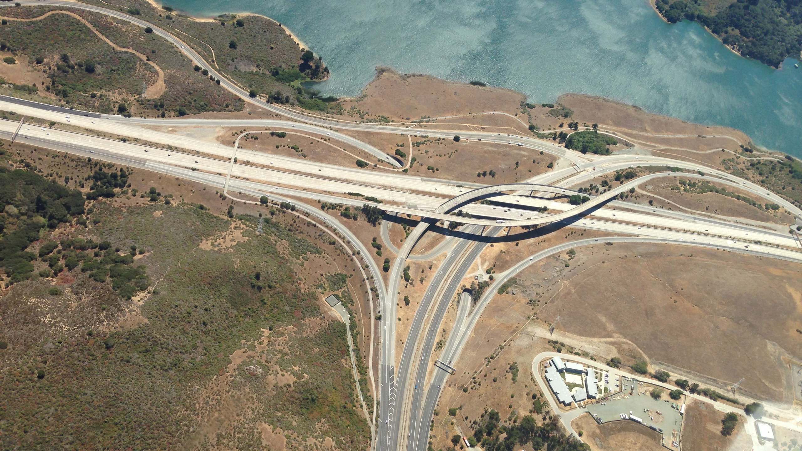
Road
Data and insights needed to build and maintain a better tomorrow.
Road authorities and construction firms use our services when planning new roads and modification projects of existing infrastructure. Our services include land surveying, aerial surveying and mobile mapping.
Capabilities
Land surveying
Land surveying plays an important role in the planning and execution phase for most infrastructure and construction projects around the world. The technique determines the accurate geographical three-dimensional position of points and the distances and angles between them. Land surveying ensures the accuracy between digital models and the physical world.
Mobile mapping & geophysical services
Field offers diverse mobile mapping and geophysical services for the public and private sectors. With laser scanners mounted on a car, we can acquire millions of points per second. This very detailed point cloud is used for creating 3D vector models and is a basis for producing a TIN-model for advanced applications. At the same time with scanning, images and video can be captured. The images are 360-degree street view imagery that can be accessed and used in a separate web viewer, Mapspace. We can also collect information about road conditions and map utilities, groundwater, and bedrock using many geophysical methods and tools.
Mapping & modelling
We offer a broad set of geospatial mapping and data services such as urban and corridor mapping services, remote-sensing based forest inventory and location-based services. We are living in a digital world, where digital model of physical assets is the standard. Design, construction and maintenance are done in 3D, which saves costs and increases efficiency. We have extensive experience in processing geospatial data into 3D models of cities, infrastructure, buildings, terrain, and seabed.
Land and property consultancy
Field’s land and property specialists provide cadaster, land acquisition and building application services. Our customers are mostly government departments and municipalities and property developers. We have a highly skilled team ready to help with land and property services in Norway.
Software
We offer a suite of software products that bring value to customers and partners across the world. Our cloud-based software products help our clients easily access and use their data. Mapspace provides the opportunity to use orthophotos, oblique images, street views (360-degree images) and point clouds for various mapping and analysis purposes. Atlas is an advanced yet simple field survey tool. Our software products support external data sources like WMS/WMTS or local vector data to empower you accurately and provide valuable insights online.
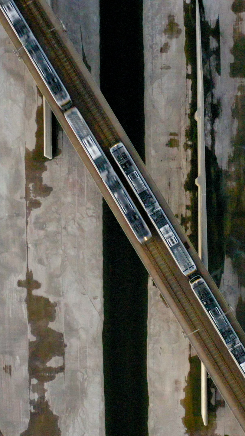
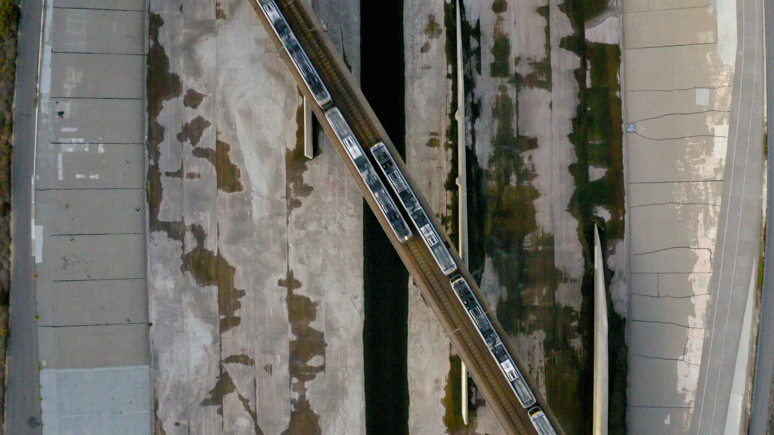
Rail
Data and insights needed to build and maintain a better tomorrow.
An accurate digital terrain model is an essential starting point for planning and maintaining linear infrastructure, such as a railroads. We have extensive experience working on railroad projects throughout the Nordics and central Europe.
Capabilities
Land surveying
Land surveying plays an important role in the planning and execution phase for most infrastructure and construction projects around the world. The technique determines the accurate geographical three-dimensional position of points and the distances and angles between them. Land surveying ensures the accuracy between digital models and the physical world.
Mobile mapping & geophysical services
Field offers diverse mobile mapping and geophysical services for the public and private sectors. With laser scanners mounted on a car, we can acquire millions of points per second. This very detailed point cloud is used for creating 3D vector models and is a basis for producing a TIN-model for advanced applications. At the same time with scanning, images and video can be captured. The images are 360-degree street view imagery that can be accessed and used in a separate web viewer, Mapspace. We can also collect information about road conditions and map utilities, groundwater, and bedrock using many geophysical methods and tools.
Mapping & modelling
We offer a broad set of geospatial mapping and data services such as urban and corridor mapping services, remote-sensing based forest inventory and location-based services. We are living in a digital world, where digital model of physical assets is the standard. Design, construction and maintenance are done in 3D, which saves costs and increases efficiency. We have extensive experience in processing geospatial data into 3D models of cities, infrastructure, buildings, terrain, and seabed.
Land and property consultancy
Field’s land and property specialists provide cadaster, land acquisition and building application services. Our customers are mostly government departments and municipalities and property developers. We have a highly skilled team ready to help with land and property services in Norway.
Software
We offer a suite of software products that bring value to customers and partners across the world. Our cloud-based software products help our clients easily access and use their data. Mapspace provides the opportunity to use orthophotos, oblique images, street views (360-degree images) and point clouds for various mapping and analysis purposes. Atlas is an advanced yet simple field survey tool. Our software products support external data sources like WMS/WMTS or local vector data to empower you accurately and provide valuable insights online.
Related cases
Buildings & properties
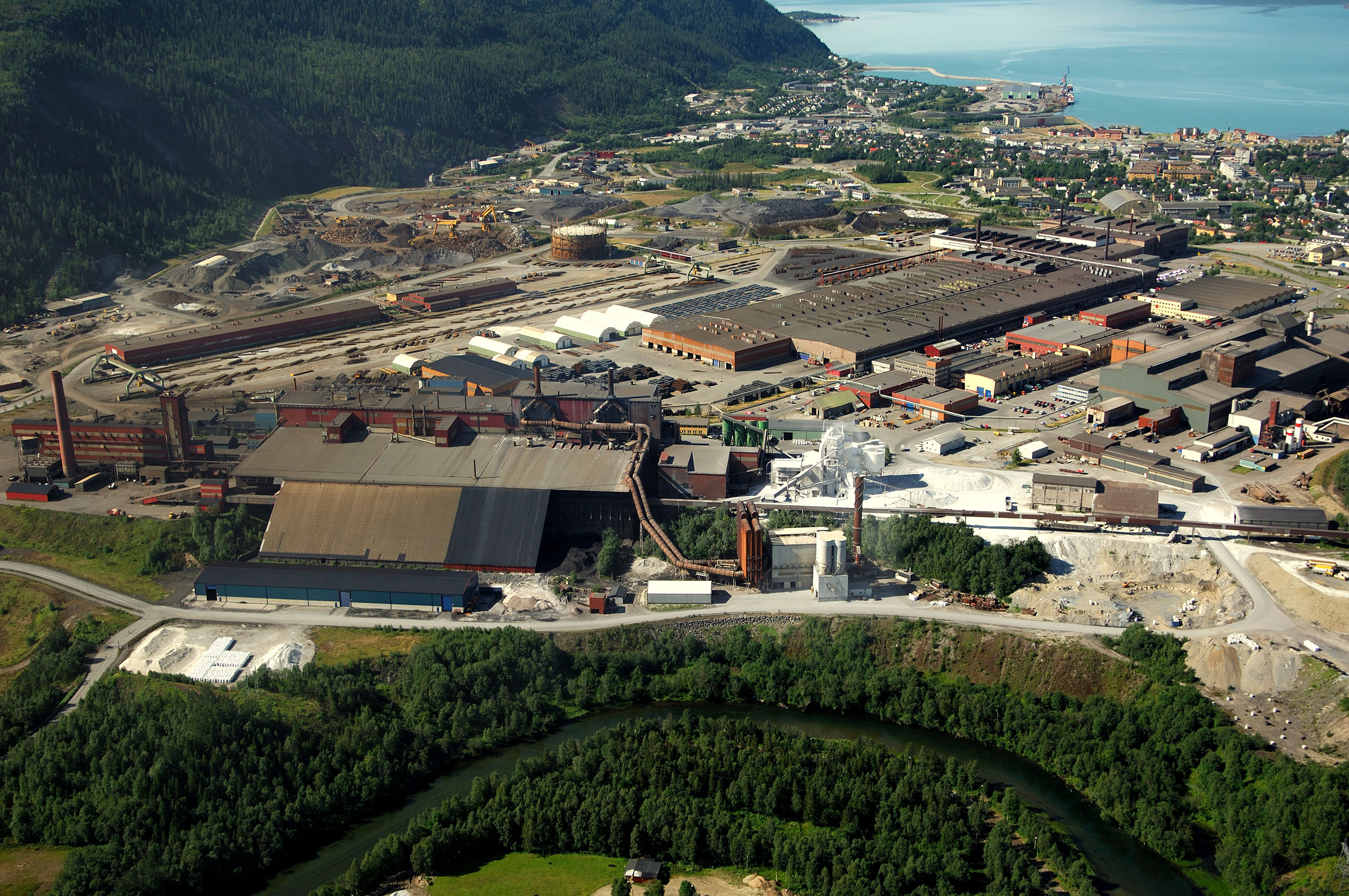
A digital twin of one of Norway's largest industrial estates
-Mo Industripark

Buildings & properties
A digital twin of one of Norway's largest industrial estates
-Mo Industripark
Explore other areas
Natural resources
Urban & government
We’re here to answer your questions
Contact us to discuss how we can help you and your organization plan, build and manage safe and efficient natural and built environments.