Production forecasting for timber inventory for Fritzøe Skoger
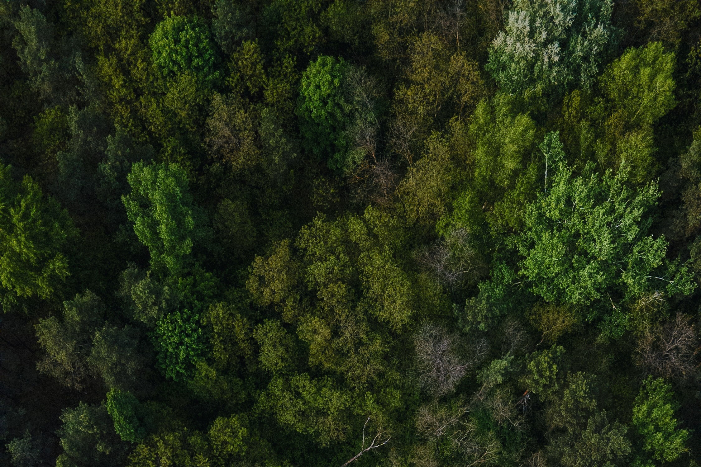
A two-hour drive from Oslo in the southwestern part of Norway lies Siljan and the headquarters for Norway’s largest private forest owner Fritzøe Skoger.
Challenge
To manage 61,000 hectares of forest land is a huge undertaking especially with challenges connected to climate change, such as drought and bark beetles. Production forecasts for timber inventory are a huge part of Fritzøe’s forest management plan, and they need to be updated every six years with Field’s high precision data.
Solution
To reliably measure tree metrics such as species, height, volume and diameter, field personnel from Field acquire ground truth data from sample plots. These plots are used as a reference point for data acquired from high resolution airborne LiDAR scanning and orthophotography. With this data, Field detects every tree through the SingleTree method. The data is then summarized up to larger geographical areas known as forest stands which are used for management purposes.
Benefits
SingleTree data gives highly precise information on tree diameters and species/tree-health, which helps find dead trees in need of harvesting before the timber is destroyed. The customer is also able to search through the data to find specific diameters and lengths in demand from sawmills. They are also able to calculate future tree growth for every tree in Fritzøe’s inventory.
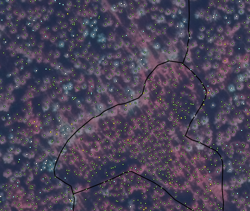
CIR-orthophotography with tree detection points, each color represents a classified species with the added special of white points that are classified as dead trees.
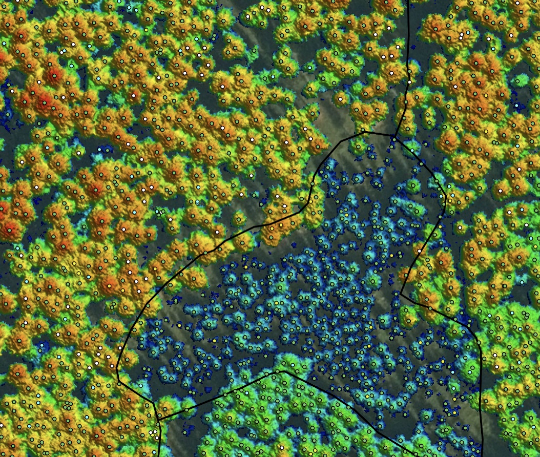
Tree height model with tree detection points, each color represents a classified species with the added special of white points that are classified as dead trees.
Geospatial solutions powered by software, sensors, and AI technologies
Join us and help capture and transform accurate geospatial data into valuable insights and digital twins.