Services
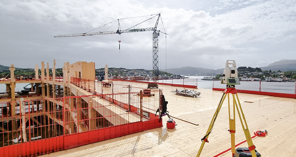
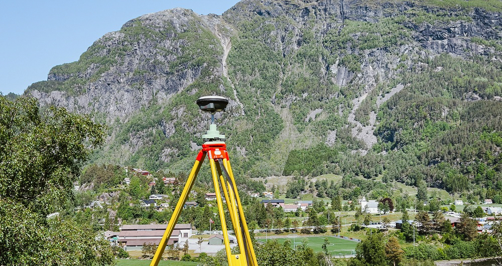
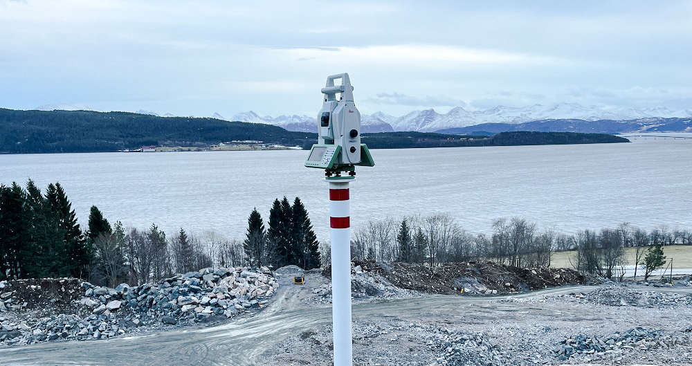
Precise leveling
Leveling determines the height of one level relative to another — critical when laying out or measuring buildings, other built assets and landscapes.
Our specialists conduct level networks and precision level networks on every scale.
Our team works closely with our customers to confirm the execution of the assignment and the location of measuring points in advance.
We use the most appropriate instruments for the task, providing the necessary precision for the project. Our results are submitted in tabular form or a format that can be imported into our customer’s GIS solution.
Get in touch
Oslo, Norway
Laurentiu Jisa
+47 406 16 934
laurentiu.jisa@field.group
Bergen, Norway
Sven Bratland
+47 474 07 550
sven.bratland@field.group
Stavanger, Norway
Dagfinn Solvik-Olsen
+ 47 930 48 141
dagfinn.solvik-olsen@field.group
Trondheim, Norway
Endre Kvam Leraand
+ 47 924 33 541
endre.kvam.leraand@field.group
Sweden
Victor Kvarnström
+46 (0)70 249 51 74
victor.kvarnstrom@field.group
Finland
Lasse Turunen
+35 850 491 5180
lasse.turunen@field.group
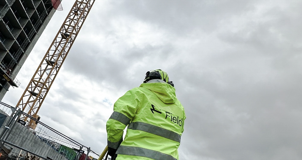
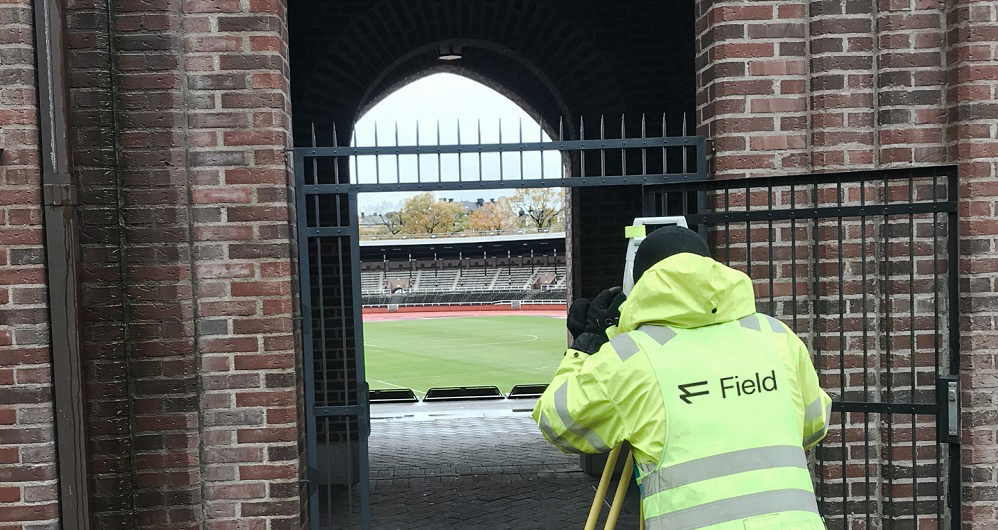
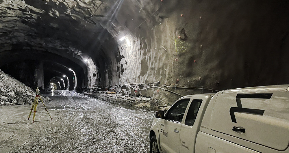
Land Surveying
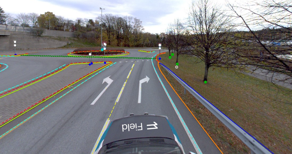
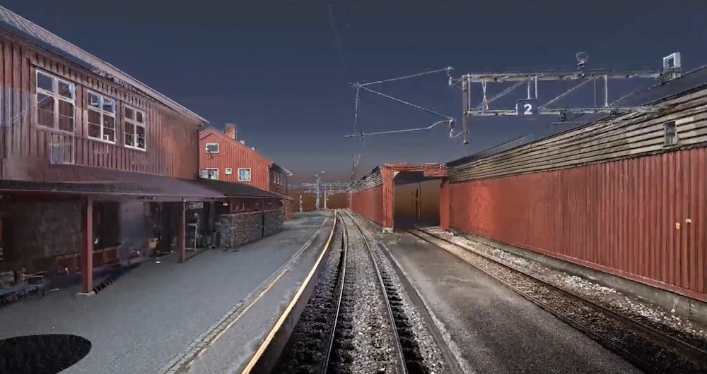
Land surveying plays a critical role in the planning and execution phase for most infrastructure and construction projects worldwide. Land surveying ensures the accuracy between digital models and the physical world. The land surveying technique determines the accurate geographical three-dimensional position of points and the distances and angles between them. Our team has extensive experience delivering land surveying services for governments, businesses, and private individuals, predominantly throughout Norway but also in Sweden and Finland. Explore more Field Land Surveying services below.
Geospatial solutions powered by software, sensors, and AI technologies
Join us and help capture and transform accurate geospatial data into valuable insights and digital twins.