Services
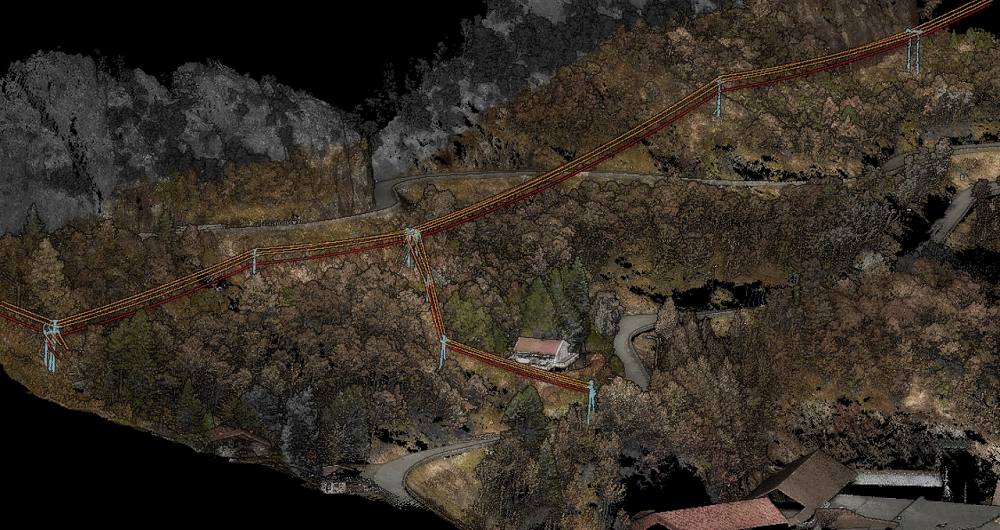
Corridor mapping
Field captures high-quality laser data and aerial images for corridor mapping, accurately mapping linear infrastructure such as roads, pipelines, railways, and powerlines. We use different platforms — airplanes, helicopters and drones — to collect information along the infrastructure.
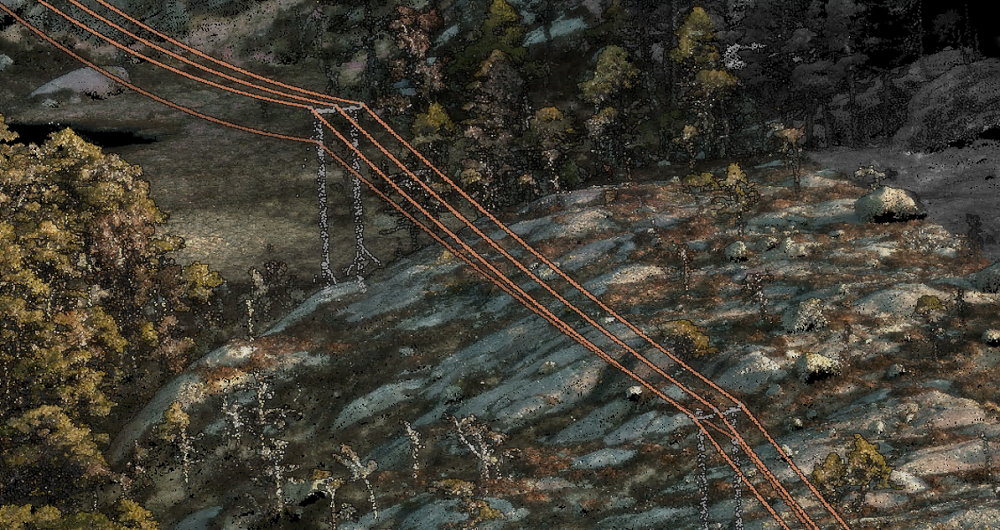
Our aircraft are equipped with high-resolution lidar, cameras and advanced navigation systems and capture detailed information about the area they fly over. We can then process this data to create accurate maps and 3D models.
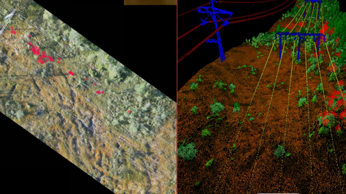
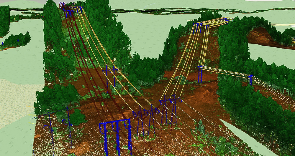
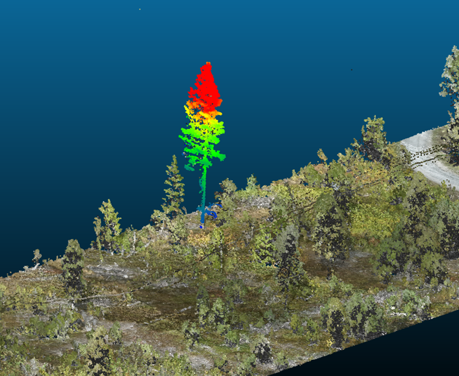
Our specialist team can produce many different analyses based on the information collected, such as determining the risk of trees falling onto powerlines and identifying the height of an individual tree stand.
These advanced analyses help identify risks, optimize maintenance, prepare vegetation-clearing plans, and more.
Get in touch
Finland
Lasse Ukkonen
+35 850 590 3908
lasse.ukkonen@field.group
Finland
Lasse Turunen
+35 850 491 5180
lasse.turunen@field.group
Norway
Dag Solberg
+47 971 73 336
dag.solberg@field.group
Sweden
Ulrika Jalkemyr
+ 46 702 553 554
ulrika.jalkemyr@field.group
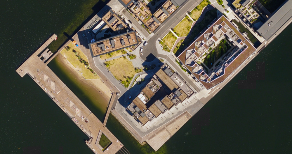
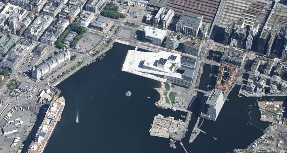
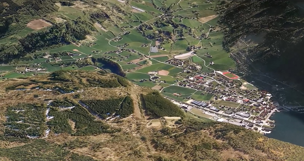
Aerial Surveying
Field has a history of aerial surveying dating back to the 1950s. We offer high-quality sensor services that deliver accurate data for digital products and decision making. Our unique competency and our fleet of ultramodern aircraft and sensors can meet even the most challenging project requirements. We have our own line of unmanned aerial surveying systems and also partner with local service providers worldwide. Explore more Field Aerial Surveying services below.
Geospatial solutions powered by software, sensors, and AI technologies
Join us and help capture and transform accurate geospatial data into valuable insights and digital twins.