Services
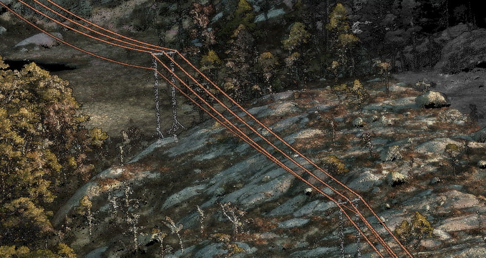
Powerline inspection
Field's data capture platform is developed in-house and is tailor-made for capturing high-resolution imagery and high-quality laser data along linear assets such as powerlines.
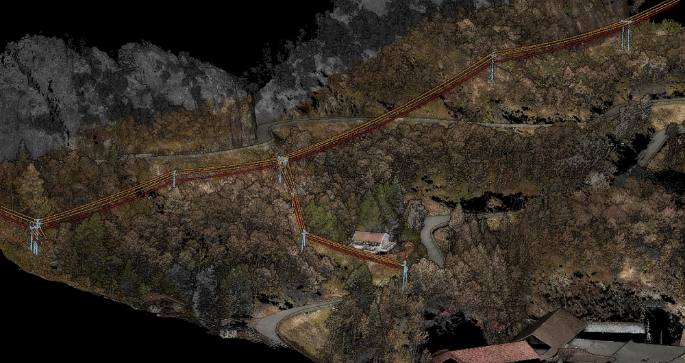
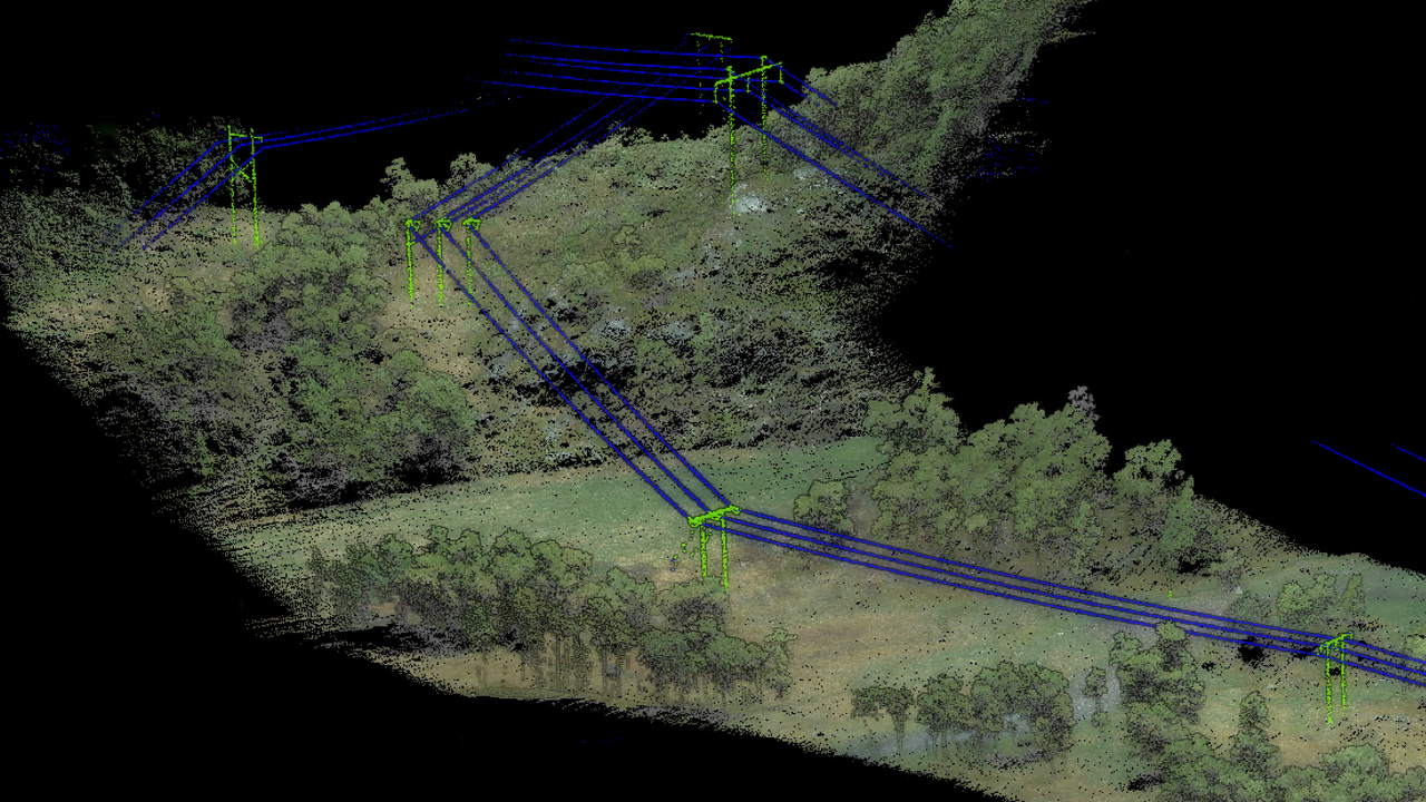
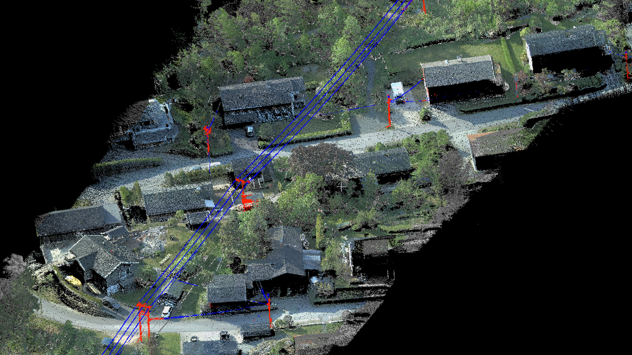
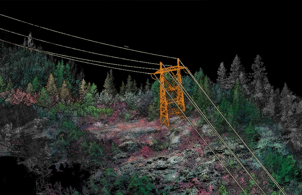
Field provides large-scale powerline inspections using mainly helicopters. We capture high-resolution imagery and high-quality laser data to provide our clients with products such as terrain models and vegetation encroachment analysis. These analyses are displayed directly on the customer’s software or Field’s proprietary software, Mapspace, delivering easy-to-understand maps and 3D data.
Field’s data capture platform is developed in-house and is tailor-made for data capture along linear assets such as powerlines, railways and roads. The captured data is post-processed using our proprietary software, TerraPos, to create the basis for accurate information.
Traditionally, powerline inspections were done manually, which was time-consuming and labor-intensive and often resulted in inaccurate data. Aerial data capture has revolutionized power grid inspections and corridor mapping. It also increases safety and helps identify and address problems more quickly, improving reliability and reducing downtime.
Get in touch
Norway
Dag Solberg
+47 971 73 336
dag.solberg@field.group
Finland
Lasse Ukkonen
+35 850 590 3908
lasse.ukkonen@field.group
Sweden
Ulrika Jalkemyr
+ 46 702 553 554
ulrika.jalkemyr@field.group
Aerial Surveying
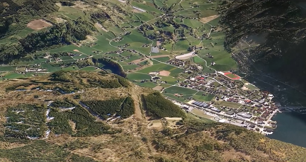
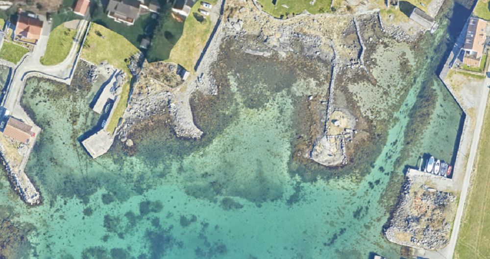
Field has a history of aerial surveying dating back to the 1950s. We offer high-quality sensor services that deliver accurate data for digital products and decision making. Our unique competency and our fleet of ultramodern aircraft and sensors can meet even the most challenging project requirements. We have our own line of unmanned aerial surveying systems and also partner with local service providers worldwide. Explore more Field Aerial Surveying services below.


Geospatial solutions powered by software, sensors, and AI technologies
Join us and help capture and transform accurate geospatial data into valuable insights and digital twins.