Services
Orthophoto
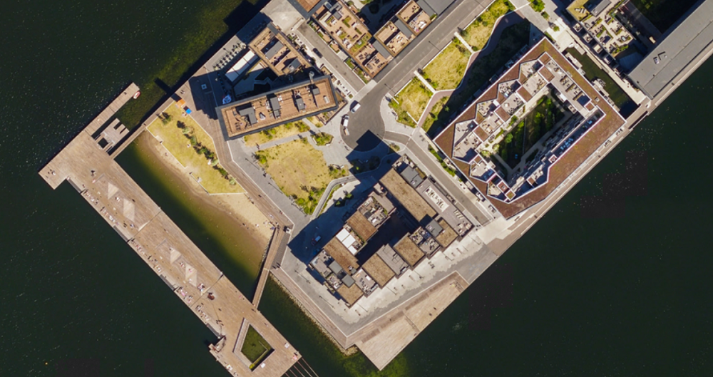
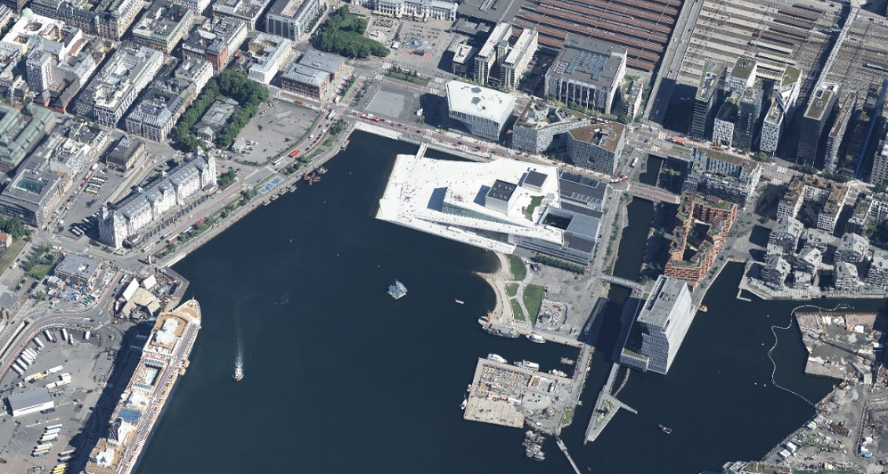
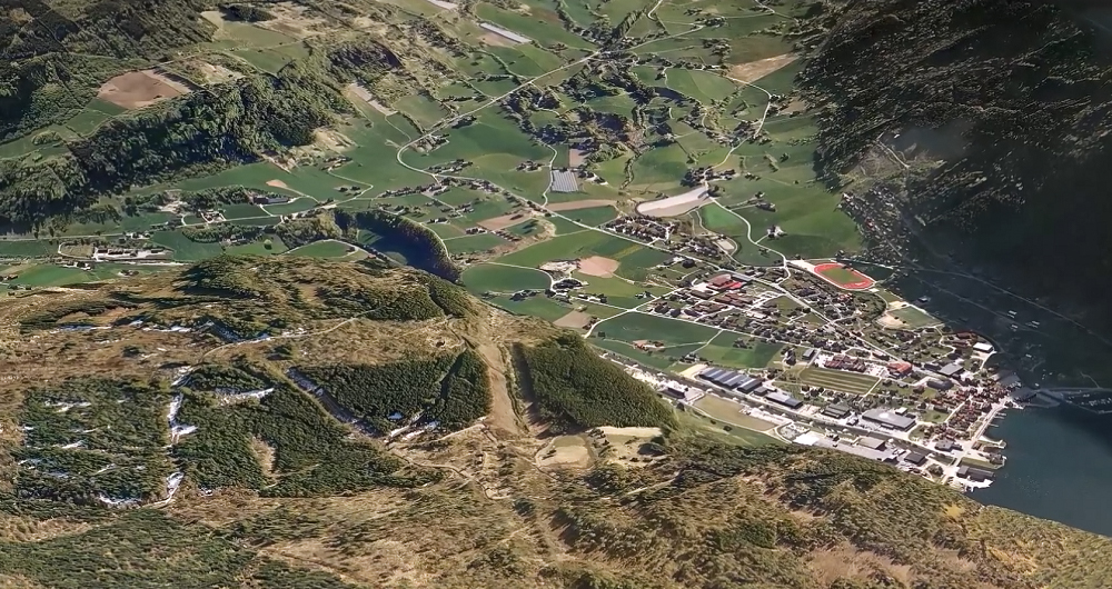
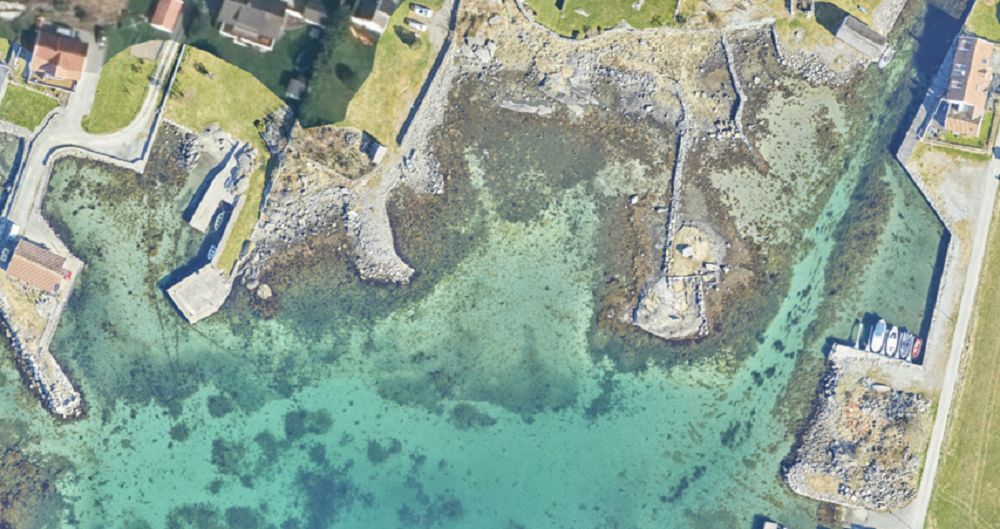
An orthophoto is an aerial image with the same geometric properties as a map. Unlike an uncorrected aerial photograph, an orthophoto has equal scale everywhere and is correctly located on the earth's surface. With orthophoto, correct measurements, visualization and analysis can be made directly in the detailed image.
Customers across the public and private sectors rely on orthophotos to obtain accurate geometric information on natural resources, built areas and infrastructure.
The quality of the orthophoto depends on the resolution and visual quality of the aerial images, the quality of the image orientation, and the quality of the work performed during the orthophoto production itself.
At Field, we have an advantage as a total supplier controlling all contributing processes — aerial photography, navigation processing, image orientation, production of elevation models, map compilation and orthophoto production. We have specialist expertise and experience within all involved disciplines.
We perform quality controls during production to ensure the quality is good and connected with the completion and approval stage. The entire orthophoto mosaic is checked systematically. Control measurements are made against reference data, and we document the production and achieved quality.
A self-evident layer in GIS databases is often used for mapping and planning area and resource use as a basis for design work, area analysis, and photorealistic presentations for decision makers and the public. With very simple software, the user can measure and analyze with the orthophoto as a background.
Get in touch
Norway
Dag Solberg
+47 971 73 336
dag.solberg@field.group
Sweden
Ulrika Jalkemyr
+ 46 702 553 554
ulrika.jalkemyr@field.group
Finland
Jan Biström
+35 840 5522 550
jan.bistrom@field.group
Aerial Surveying
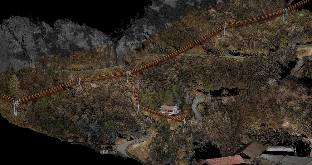
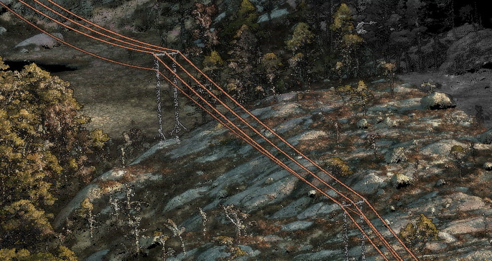
Field has a history of aerial surveying dating back to the 1950s. We offer high-quality sensor services that deliver accurate data for digital products and decision making. Our unique competency and our fleet of ultramodern aircraft and sensors can meet even the most challenging project requirements. We have our own line of unmanned aerial surveying systems and also partner with local service providers worldwide. Explore more Field Aerial Surveying services below.
Geospatial solutions powered by software, sensors, and AI technologies
Join us and help capture and transform accurate geospatial data into valuable insights and digital twins.