Services
Ground penetrating radar
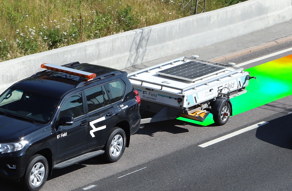
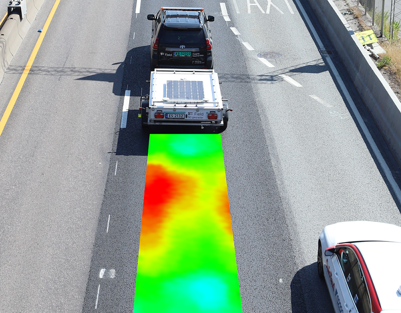
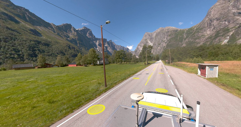
Ground penetrating radar is a non-destructive geophysical method for mapping subsurface structures, acquiring data at traffic speeds up to 70km/h. With our high-resolution radar antennas, we can map essential infrastructure such as roads, bridges and airports in 3D.
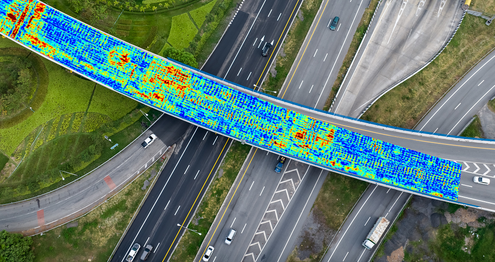
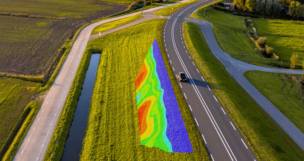
We determine asphalt, base course and subbase thickness with high accuracy. Our system enables the air void content to be measured with full road coverage, thus efficient quality control of newly paved roads. The results from our scans are delivered as georeferenced 3D-models but can also be visualized as colormaps in Mapspace, providing a simple and intuitive overview of road or bridge conditions.
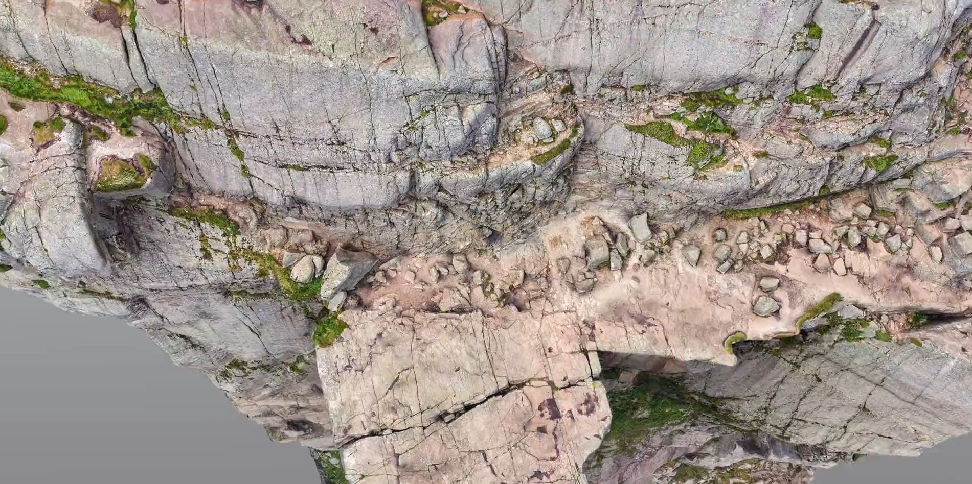
Accurate information about the location and depth of utility lines is critical in many infrastructure projects — both in the planning phase and during the execution of your project. The 3D GPR system allows us to efficiently cover large areas and deliver 3D models of underground utilities — ready for use in our customers’ design toolkit. The high accuracy of positioning in x, y and z makes planning new infrastructure much easier and reduces the risk of costly structural damage.
For more information, contact one of our team members or send us your questions. We’ll be happy to help.
Get in touch
Norway
Tobias Jokisch
+47 902 09 686
tobias.jokisch@field.group
Finland
Petteri Ryönänkoski
+ 358 400 928 739
petteri.ryonankoski@field.group
Sweden
Bodil Sundberg
+46 703 60 4682
bodil.sundberg@field.group
Mobile Mapping & Geophysics
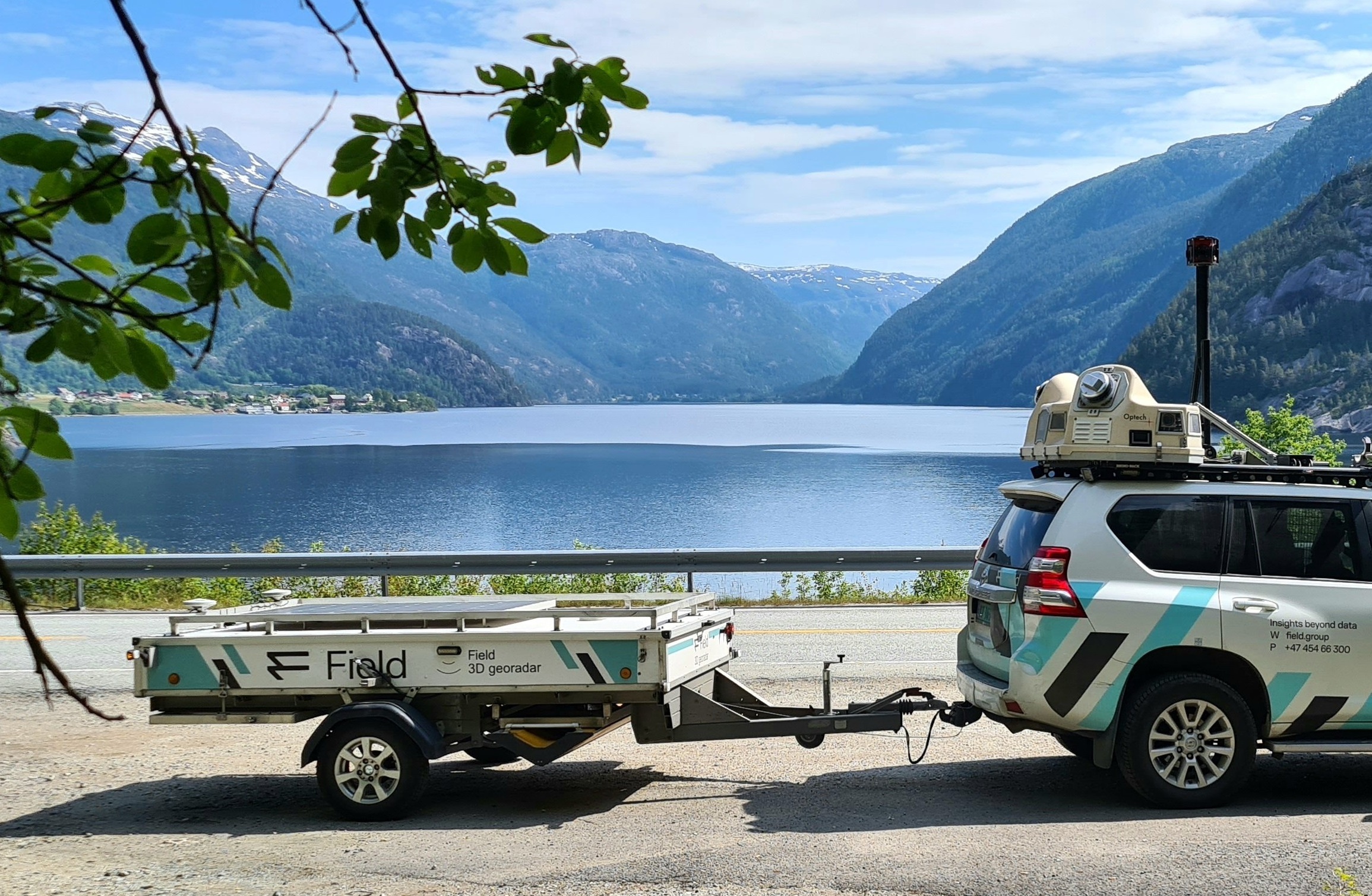
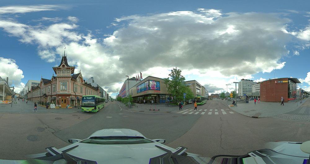
With laser scanners mounted on a car, we can acquire millions of points per second. This very detailed point cloud is used for creating 3D vector models and it is a basis for producing a TIN-model for advanced applications. At the same time with scanning, images and video can be captured. The images are 360-degree street view imagery that can be accessed and used in a separate web viewer, Mapspace. We can also collect information about road conditions and map utilities, groundwater and bedrock using ground penetrating radar. Explore more Field Mobile Mapping & Geophysical Services below.
Geospatial solutions powered by software, sensors, and AI technologies
Join us and help capture and transform accurate geospatial data into valuable insights and digital twins.