Services
Plandelaren
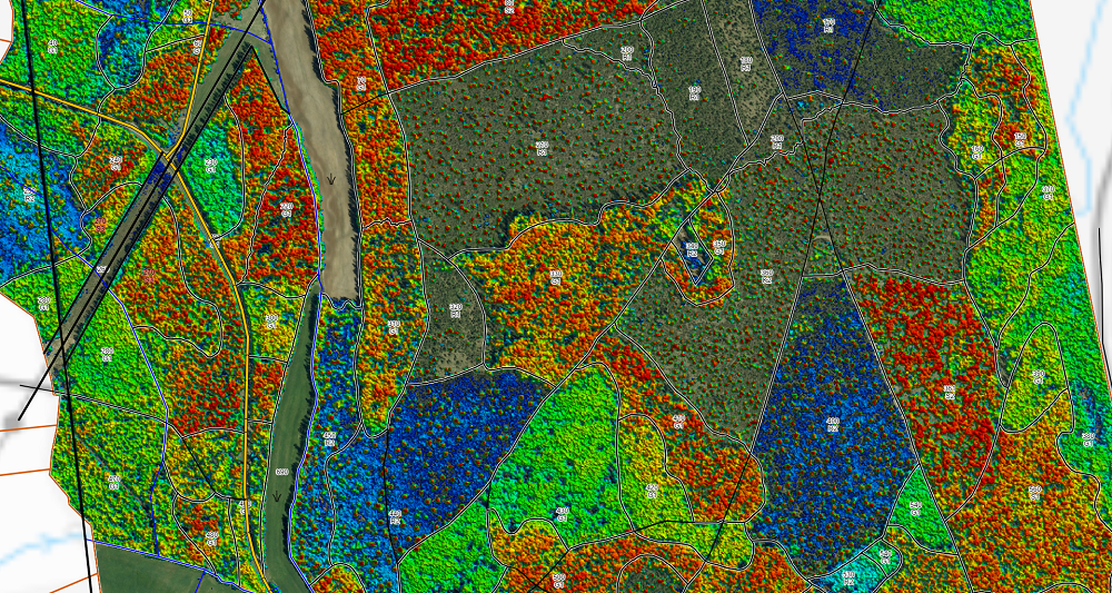
Field has extensive experience with remote sensing-based forest inventory in Sweden and Norway. Combining aerial LiDAR data and imagery with field measurements, we provide accurate inventory results over large areas. Typical variables include tree height, tree species, diameter, growing stock, and carbon stock. Plandelaren is Field's leading forestry management software.
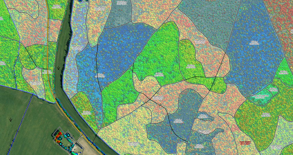
With Plandelaren you can easily find all the information in your forest management plan and share it with anyone — send it to timber suppliers to get offers on your lumber, or share your plan with a co-owner. Track your position in the field with the Plandelaren app, upload pictures directly from your cellphone, and add notes and annotations to your map. The latest forest height map and orthophoto are always included in our service.


Get in touch
Sweden
Johan Vestin
+46 13 210 282
johan.vestin@field.group
Field offers software products that bring value to customers and partners worldwide. Our cloud-based software products help our customers easily access and use their data. Our software products support external data sources like WMS/WMTS or local vector data to empower you accurately and provide valuable insights online. Explore more Field software products below.


Geospatial solutions powered by software, sensors, and AI technologies
Join us and help capture and transform accurate geospatial data into valuable insights and digital twins.