Services
TerraPos
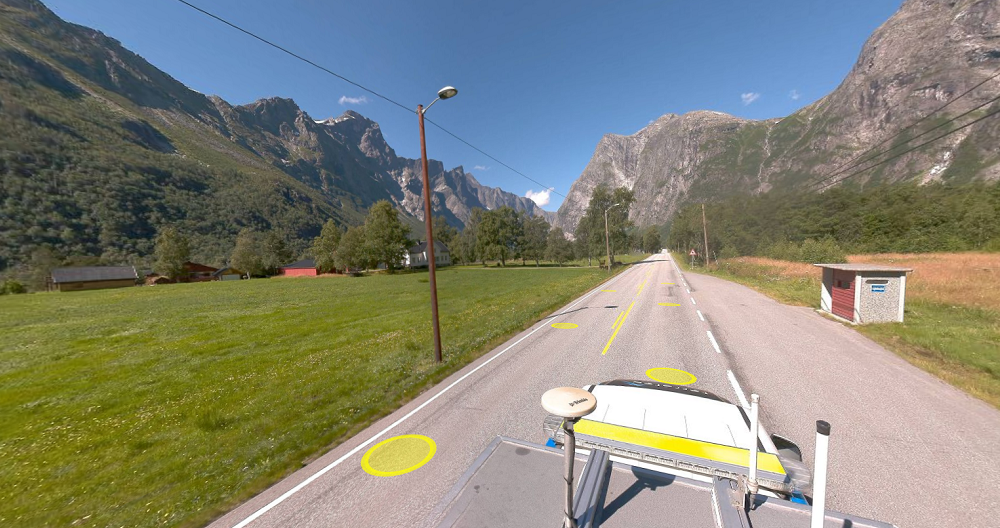
TerraPos is Field's in-house developed post-processing software for positioning kinematic platforms. The software integrates satellite positioning and inertial sensors for a full six degrees of freedom solution. It uses Precise Point Positioning (PPP) technology to provide true autonomy: anywhere, anytime — without worrying about base stations or reference networks. It’s ideal for marine or airborne applications.

TerraPos has been commercially available since 2006 and has been successfully used on all continents.
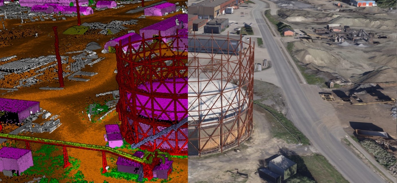
Our customers have relied on positions and orientation from TerraPos for their marine vessels, aircraft and land vehicles for a broad range of applications including bathymetric surveys, aerial photogrammetry, laser scanning, mobile mapping, ground penetrating radar, marine and aerial gravity surveys.
TerraPos has been designed to cope with challenging conditions by maximizing the use of all available data. This effort includes support for all global and regional satellite systems (GPS, GLONASS, Galileo, BeiDou, QZSS, NAVIC) and all regional satellite-based augmentation systems (e.g., WAAS, EGNOS). Additional support sensors (e.g., odometers or magnetometers) are also supported.
TerraPos is vendor-neutral and may use a wide range of industry standard formats for input and output. A powerful and flexible export module ensures the positions and orientation data can be made available for any further need.
All software modules can be run interactively or in automated and batch-oriented production lines. Both Windows and Linux operating systems are fully supported.
Get in touch
Norway
Even Brøste
+47 454 85 238
even.broste@field.group
Norway
Leif Erik Blankenberg
+47 906 66 938
leif.erik.blankenberg@field.group
Europe
Charles de Jongh
+47 465 77 931
charles.dejongh@field.group
Software
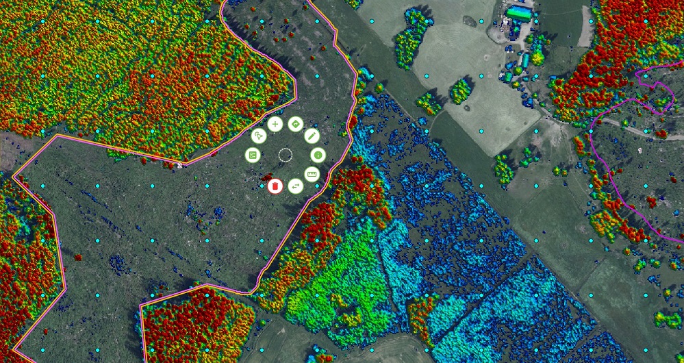
Field offers software products that bring value to customers and partners worldwide. Our cloud-based software products help our customers easily access and use their data. Our software products support external data sources like WMS/WMTS or local vector data to empower you accurately and provide valuable insights online. View more Field software and services below.
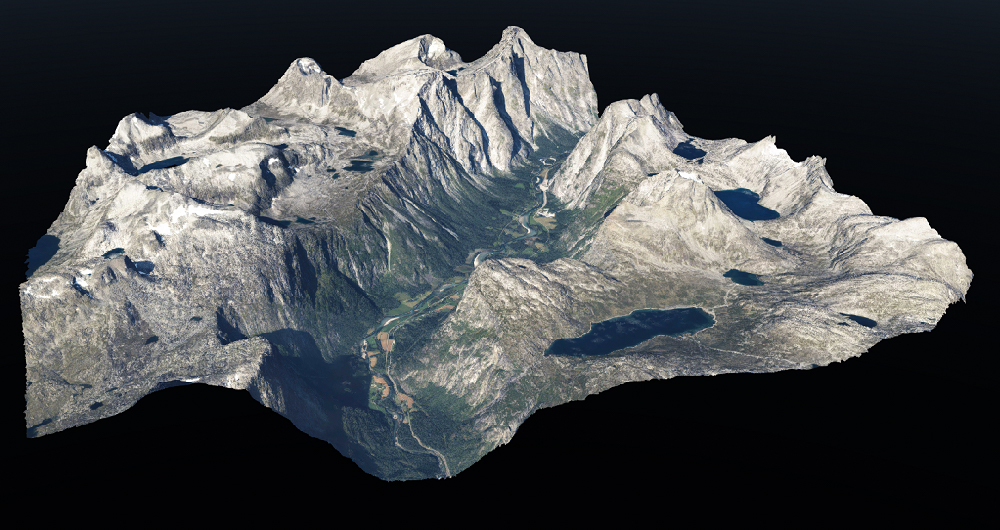
Geospatial solutions powered by software, sensors, and AI technologies
Join us and help capture and transform accurate geospatial data into valuable insights and digital twins.