Services
Fabriken
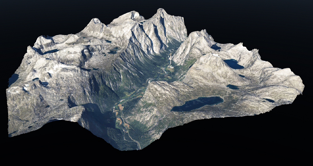
Fabriken software contains everything you need for forestry planning, operational planning or resource planning across Sweden. With Fabriken, you can easily access all the maps that Field produces and relevant maps from government authorities, such as orthophotos or property map vectors. You can also upload your own file, draw on the map, or search for a property name to purchase maps.

Our specialist team has extensive experience with remote sensing-based forest inventory. Combining aerial LiDAR data and imagery with field measurements, we can provide accurate inventory results over large areas in a cost-effective manner.
Typical variables like tree height, tree species, diameter, growing stock are standard, as well as carbon stock. Using time series, we can estimate site index, cutting class, and age. We use both area-based analysis and detailed single tree analysis for a wide variety of customers, ranging from the forest industry and powerline companies to rail and road authorities and municipalities.
Fabriken is available at a fixed cost per hectare and a low monthly cost.
Fabriken product packages available for purchase:
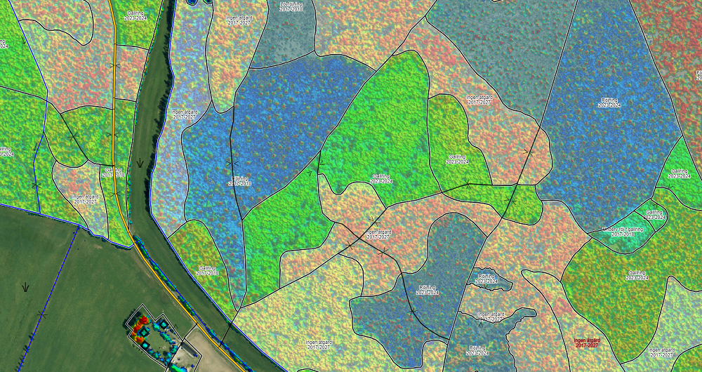
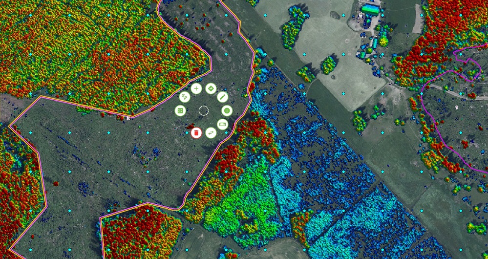
- Land package
- Soil moisture
- Forest elevation
- Spruce bark beetle risk map
- Ortophoto
- Ortophoto IR
- Real estate map
- Plan Fabriken
Get it touch
Sweden
Johan Vestin
+46 13 210 282
johan.vestin@field.group
Field offers a suite of software products that bring value to customers and partners worldwide. Our cloud-based software products help our customers easily access and use their data. Our software products support external data sources like WMS/WMTS or local vector data to empower you accurately and provide valuable insights online. Explore more software products below.

Geospatial solutions powered by software, sensors, and AI technologies
Join us and help capture and transform accurate geospatial data into valuable insights and digital twins.