Services
Atlas
Atlas software offers users an advanced but simple field survey tool. Atlas is used for creating documentation tools for large-scale field inventory work. It was inspired by the idea of dataset sharing, with an administrative workspace sharing parts with personnel working in the field.
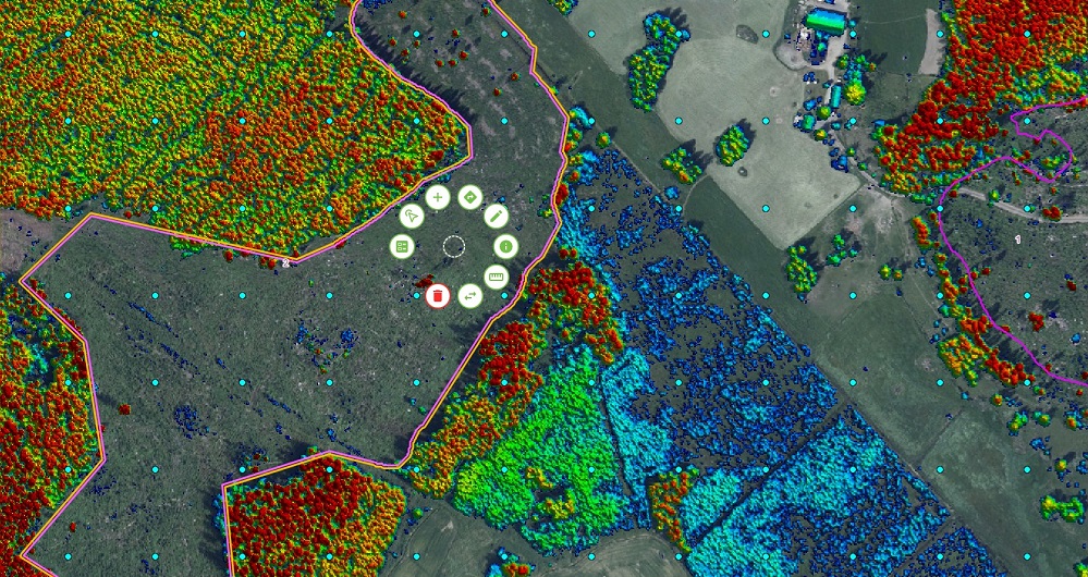
Atlas is a hardware-independent web-based application that automatically syncs between any of your devices. Geospatial data flows seamlessly between the field and the office and is also accessible when offline in the field.
Atlas revolves around the map, and the tool is simple and intuitive to use in the field but with advanced background functionality back in the office. It allows administrators to spatially control who can view, edit, and access specific data. The admin user can see it all and choose which part the specific user or group of users can see, supporting effective large-scale project management.
Atlas ensures data is accurately collected with logical verifications and safely backed up with immediate and autonomous synchronization.

Sweden
Johan Vestin
+46 13 210 282
johan.vestin@field.group
Software
Field offers software products that bring value to customers and partners worldwide. Our cloud-based software products help our customers easily access and use their data. Our software products support external data sources like WMS/WMTS or local vector data to empower you accurately and provide valuable insights online. Explore more Field software and services below.


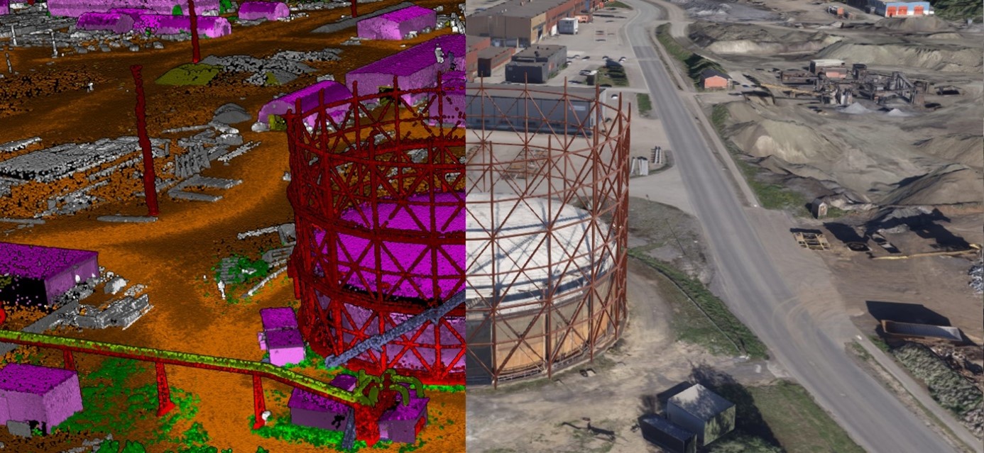

Geospatial solutions powered by software, sensors, and AI technologies
Join us and help capture and transform accurate geospatial data into valuable insights and digital twins.