Services
Mapping
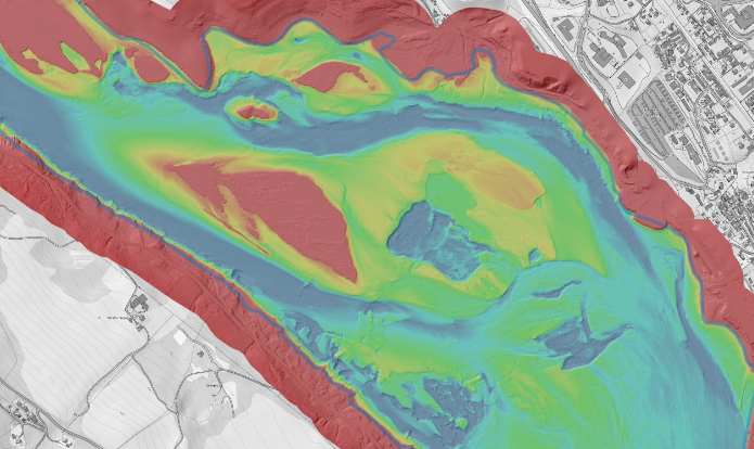
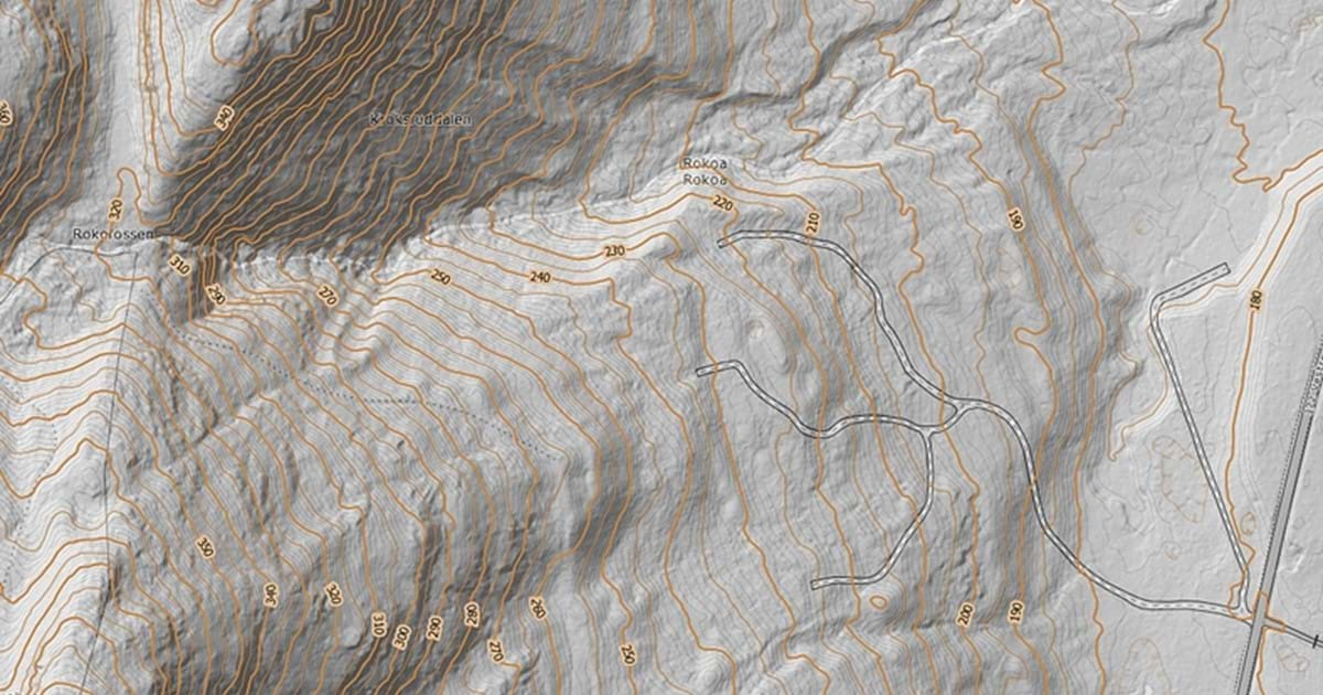
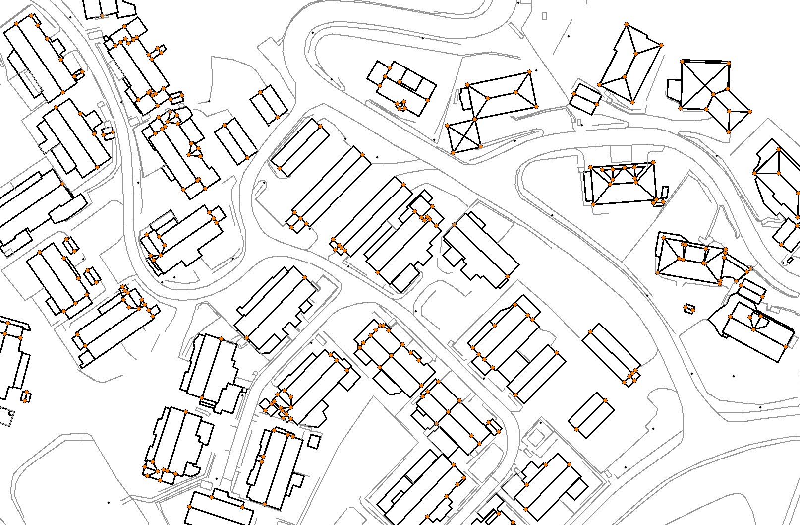
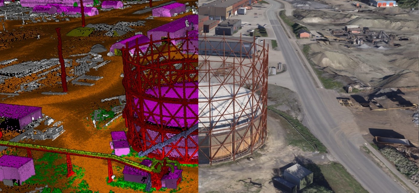
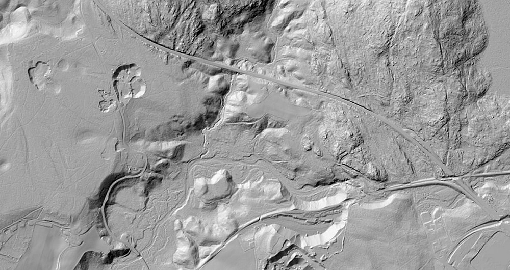
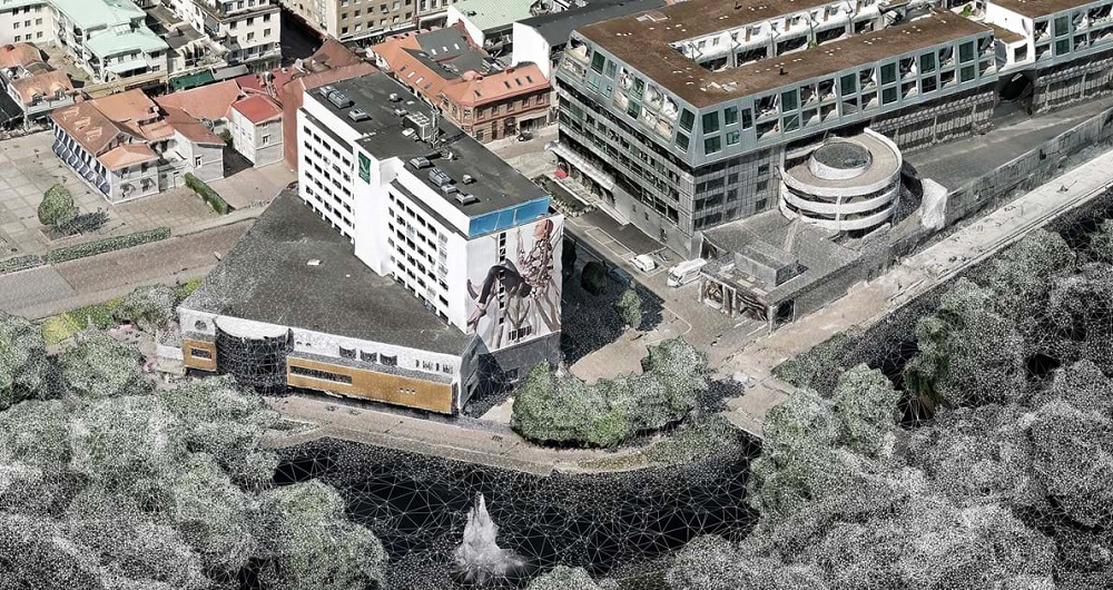
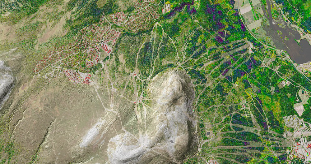
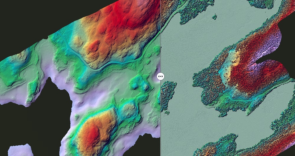
Field specializes in all types of mapping — including mapping using photogrammetric methods with images taken from airborne cameras and mapping based on laser data collected with air or ground-based laser. We offer value from beginning to end: from planning and executing data capture to processing georeferenced products such as vertical images, mapping/updating, terrain models, height curves and orthophoto.
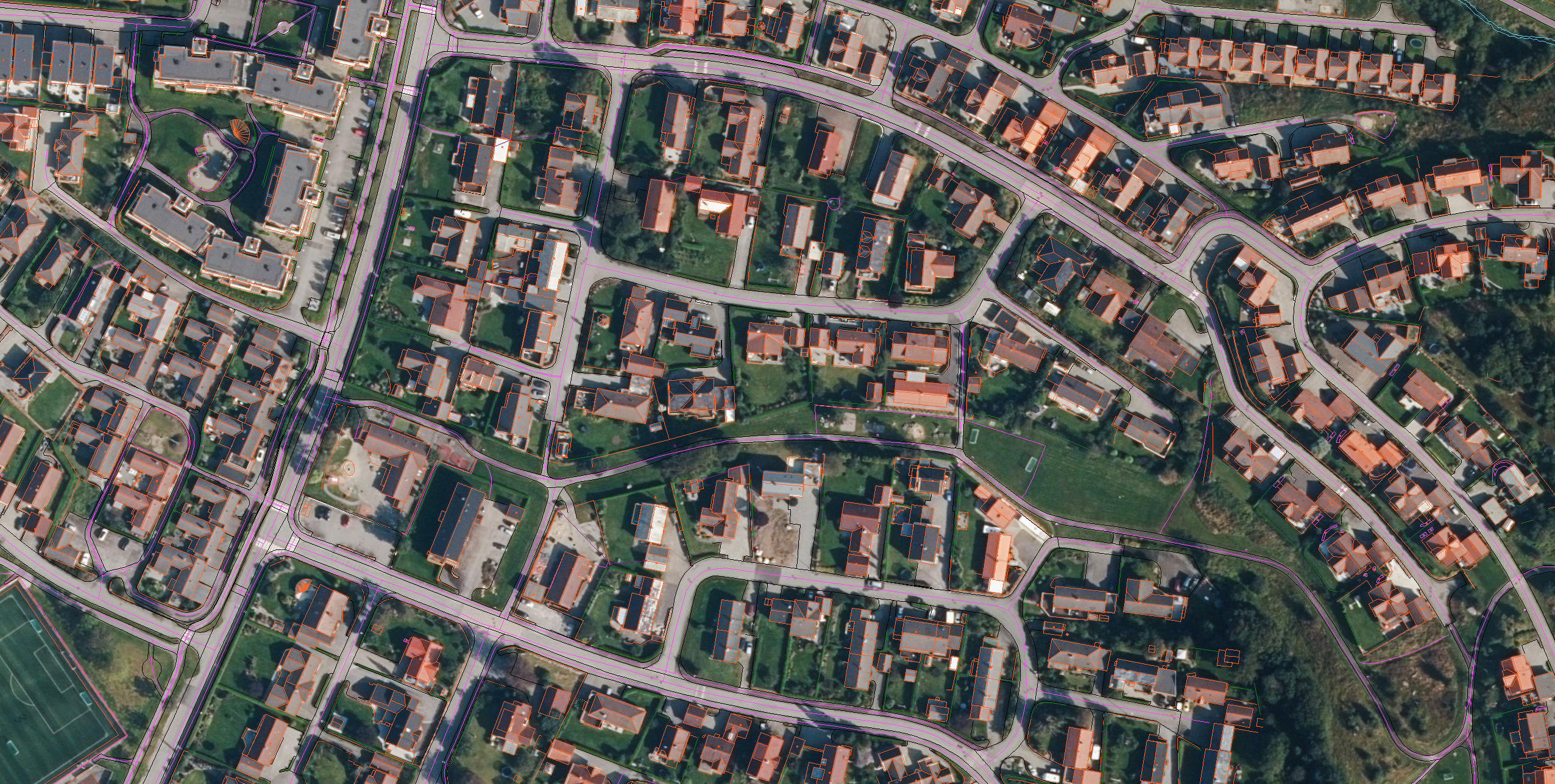
A map is a depiction, a presentation, or a representation of the actual geographic world where you produce terrain, infrastructure, and buildings according to given requirements and needs. Our customers use these products in many different ways.
First, map data is the foundation of public administration. All planning processes, property management, and development need a good map to be carried out. And the municipalities need to have detailed mapping available (FKB) as a basis for land-use planning and measures requiring applications, engineering, and public case processing.
Government organizations and municipalities use different map products daily. In addition, consultants who project various developments, such as property and infrastructure, also need good map data for their work.
At Field, we have extensive experience creating and developing products that meet customers’ needs. We are also well acquainted with current standards and requirements and safeguard these in our production.
Get in touch
Norway
Elina Larsen
+ 47 982 35 425
elina.larsen@field.group
Norway
Eirik Fosseli
+47 906 97 298
eirik.fosseli@field.group
Finland
Lasse Turunen
+35 850 491 5180
lasse.turunen@field.group
Sweden
Ulrika Jalkemyr
+ 46 702 553 554
ulrika.jalkemyr@field.group
Mapping & Modelling
Field offers a broad set of geospatial mapping and data services such as urban and corridor mapping services, remote-sensing based forest inventory and location-based services. We are living in a digital world, where digital model of physical assets is the standard. Design, construction and maintenance are done in 3D, which saves costs and increases efficiency. We have extensive experience processing geospatial data into 3D models of cities, infrastructure, buildings, terrain, and seabed. Explore more Field Mapping & Modelling services below.
Geospatial solutions powered by software, sensors, and AI technologies
Join us and help capture and transform accurate geospatial data into valuable insights and digital twins.