Services
Point clouds
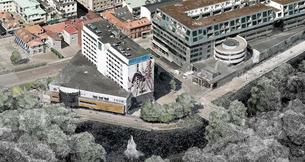
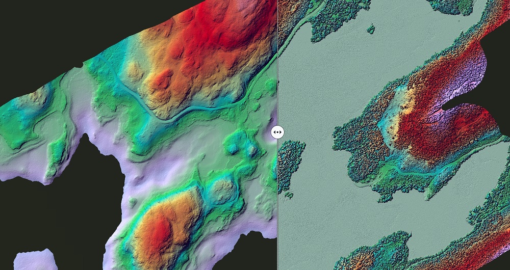
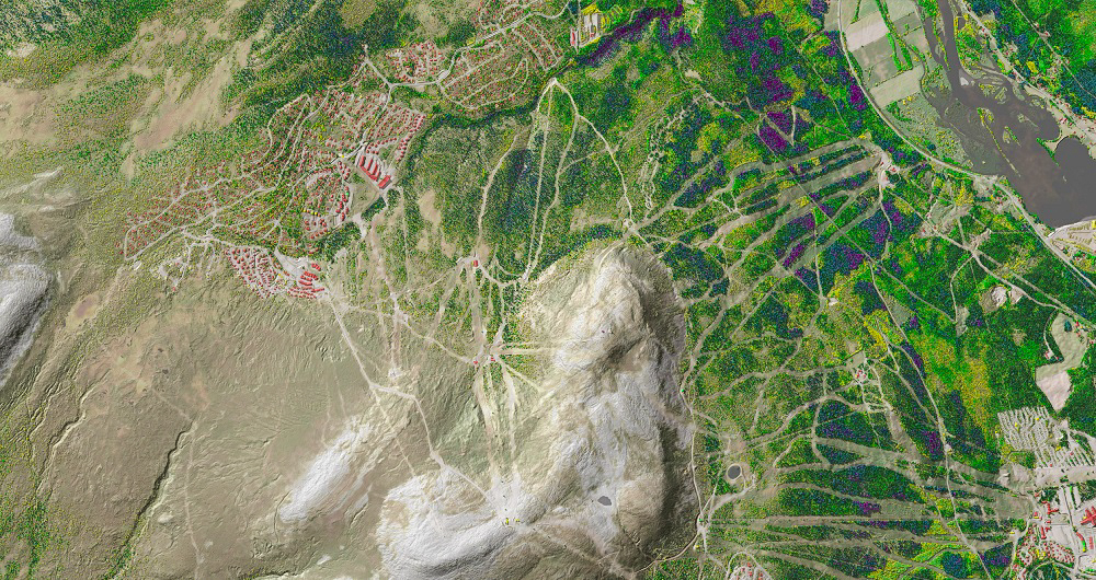
A point cloud is a digital 3D representation of a physical object or space made of millions of individual measurement points. It can be used for many purposes including monitoring and analyzing roads, power lines and forestry.
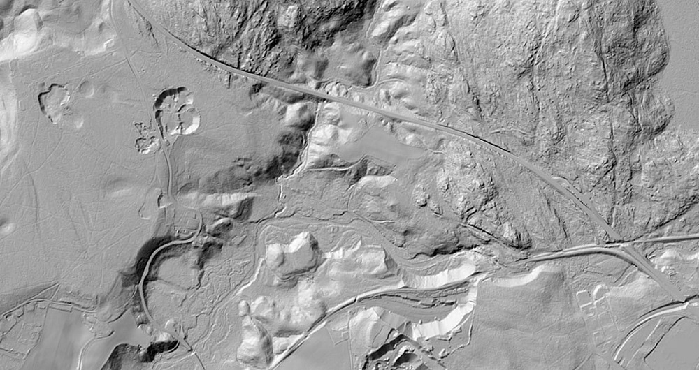
A point cloud is a versatile product that can be classified in many ways. One example of a common product is a ground classified point cloud to form an accurate terrain model.
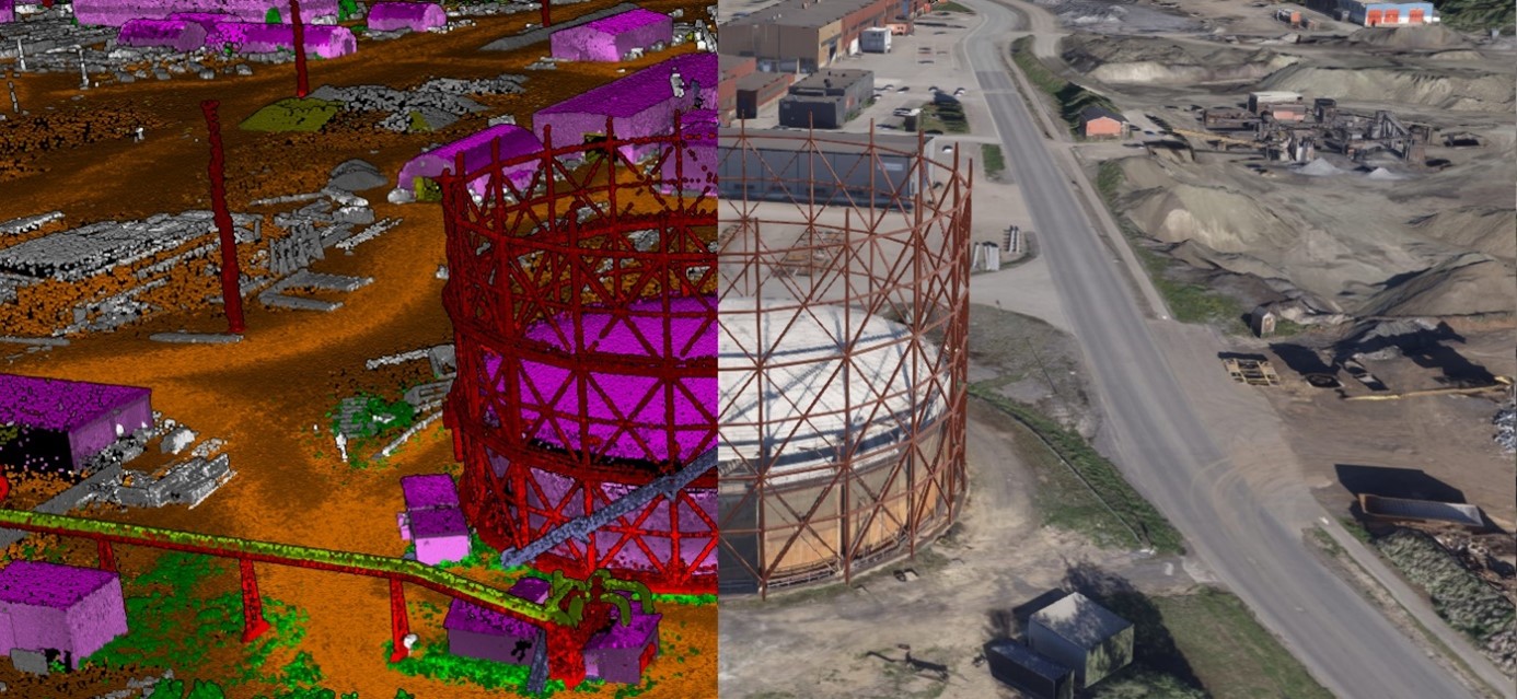
Other popular classifications can include buildings, bridges, road, rail, snow, vegetation, overhead power lines, electrical installations, large rocks, and water. The point cloud can be used for various analyses, such as analyzing trees that may potentially fall on power lines or road surface quality.
A classified point cloud can also be used for different kinds of modelling. The classification itself is firstly done automatically in special software, followed by manual editing and quality control to ensure the best quality possible.
Airborne data capture, RGB point cloud, laser scanning
Get in touch
Norway
Dag Solberg
+47 971 73 336
dag.solberg@field.group
Finland
Lasse Turunen
+35 850 491 5180
lasse.turunen@field.group
Sweden
Ulrika Jalkemyr
+ 46 702 553 554
ulrika.jalkemyr@field.group
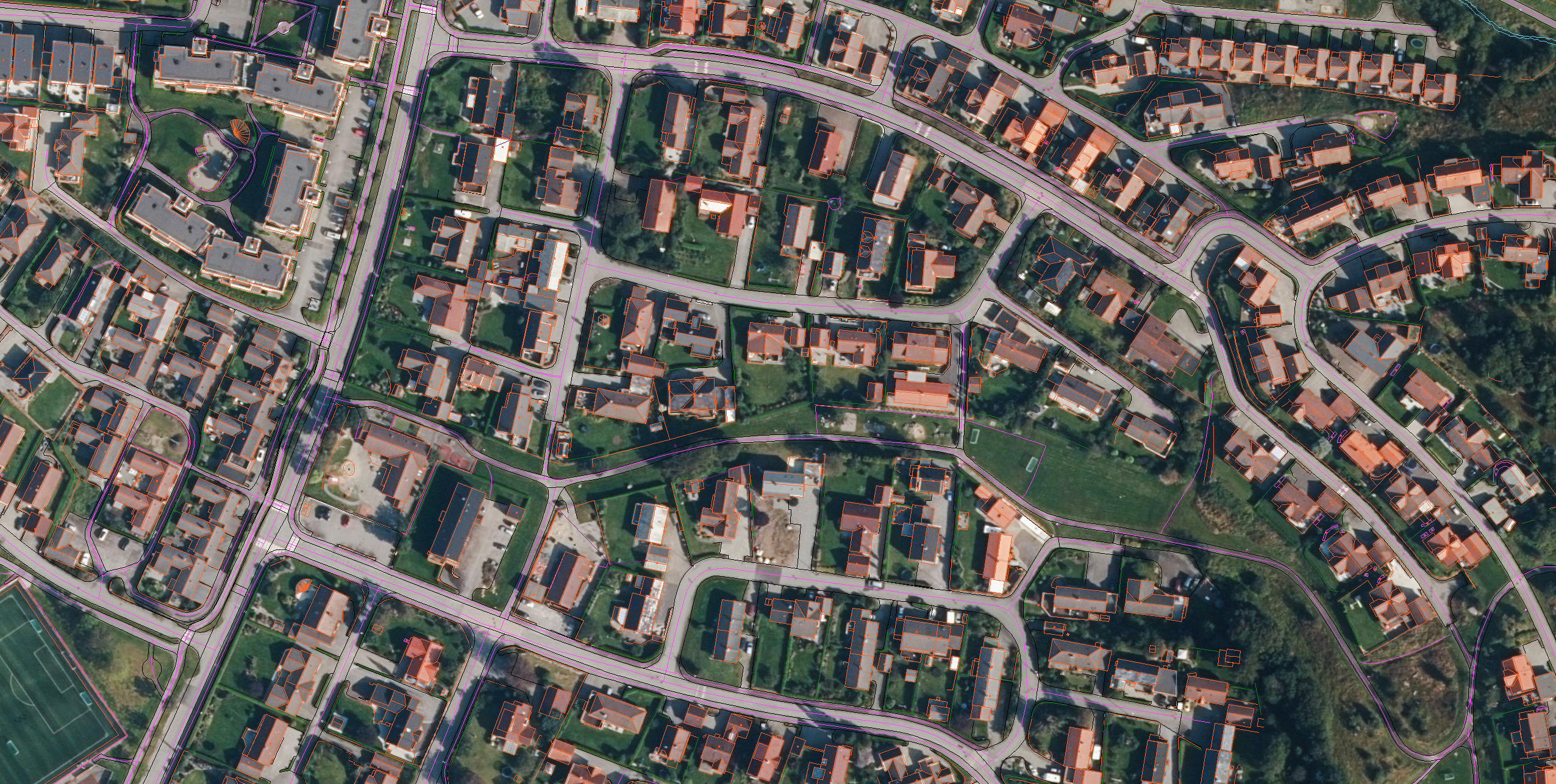
Mapping & Modelling
Field offers a broad set of geospatial mapping and data services such as urban and corridor mapping services, remote-sensing based forest inventory and location-based services. We are living in a digital world, where digital model of physical assets is the standard. Design, construction and maintenance are done in 3D, which saves costs and increases efficiency. We have extensive experience processing geospatial data into 3D models of cities, infrastructure, buildings, terrain, and seabed. Explore more Field Mapping & Modelling services below.
Geospatial solutions powered by software, sensors, and AI technologies
Join us and help capture and transform accurate geospatial data into valuable insights and digital twins.