Services
Terrain models
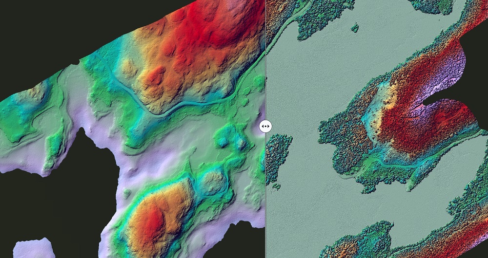
An accurate and reliable terrain model is valuable when designing new infrastructure, including roads, railways, and powerlines, and can be used to calculate mass transfers and costs associated with this between the builder and the contractor.
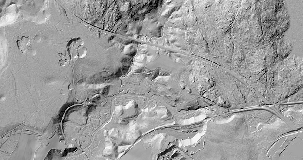
Our specialist team can set up a detailed and accurate terrain model (DTM/DEM) from laser data using only points defined as terrain in laser data or combined with break lines.
Laser data provides large amounts of data, and often it will be practical to reduce the amount of data in the finished terrain models.
We do this by retaining the points where the break points are in the terrain and excluding points that do not significantly affect the model.
We supply our terrain models as seamless triangular (TIN) surface models, where properties can be added within defined areas.
Videos
Get in touch
Norway
Dag Solberg
+47 971 73 336
dag.solberg@field.group
Finland
Lasse Turunen
+35 850 491 5180
lasse.turunen@field.group
Sweden
Bodil Sundberg
+46 703 60 4682
bodil.sundberg@field.group
Mapping & Modelling
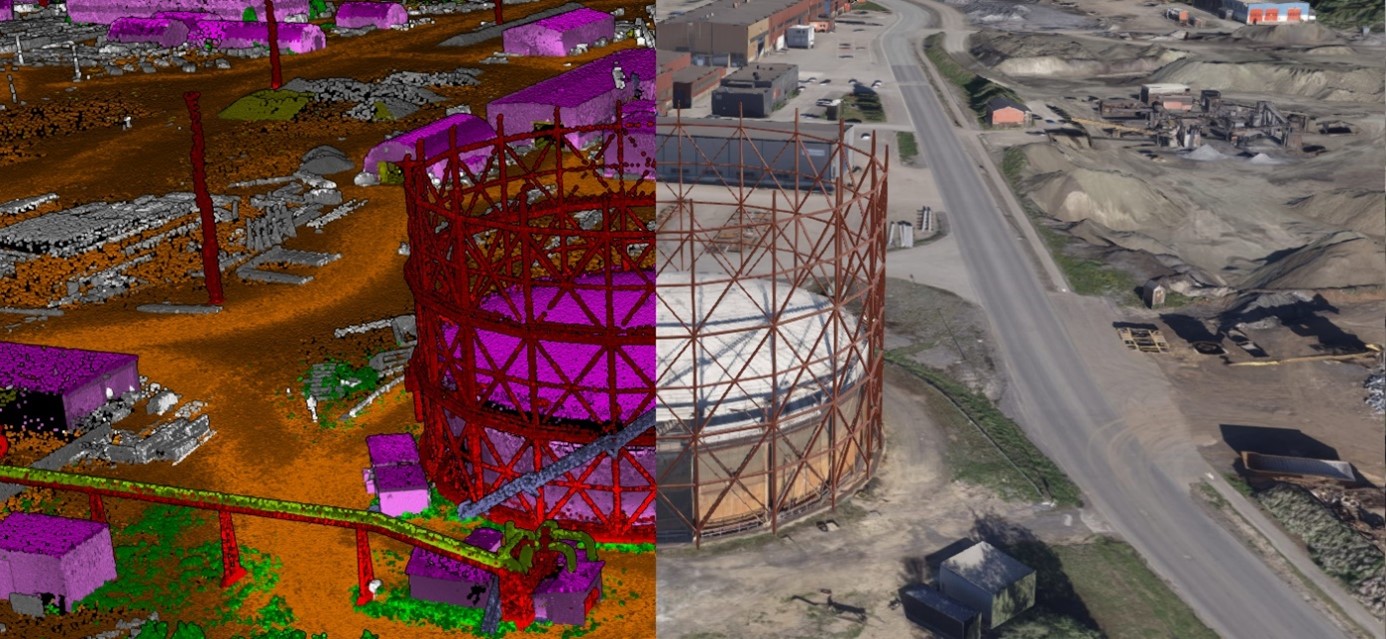
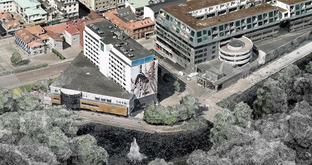
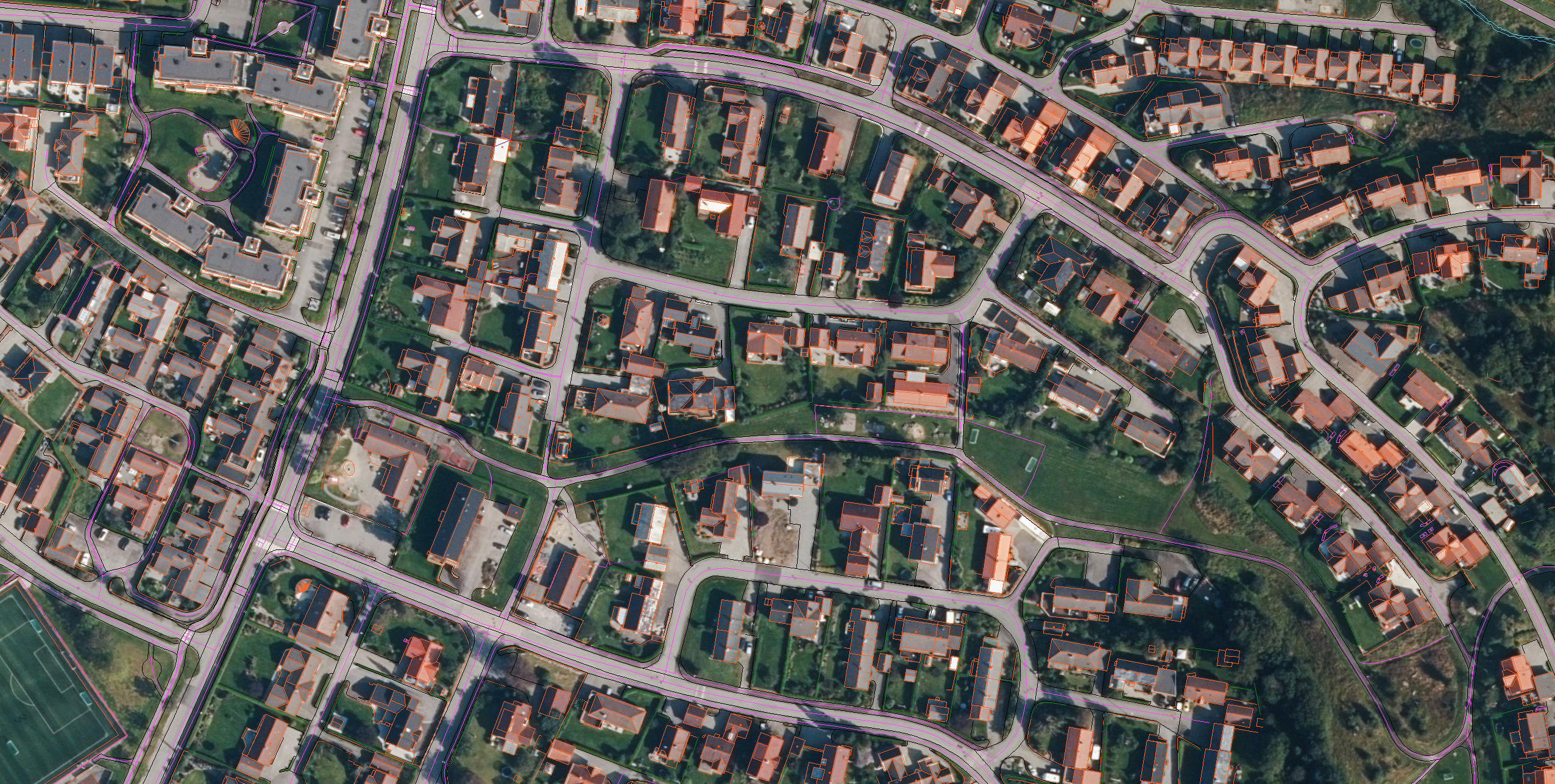
Field offers a broad set of geospatial mapping and data services such as urban and corridor mapping services, remote-sensing based forest inventory and location-based services. We are living in a digital world, where digital model of physical assets is the standard. Design, construction and maintenance are done in 3D, which saves costs and increases efficiency. We have extensive experience processing geospatial data into 3D models of cities, infrastructure, buildings, terrain, and seabed. Explore more Field Mapping & Modelling services below.
Geospatial solutions powered by software, sensors, and AI technologies
Join us and help capture and transform accurate geospatial data into valuable insights and digital twins.