Services
Mobile mapping
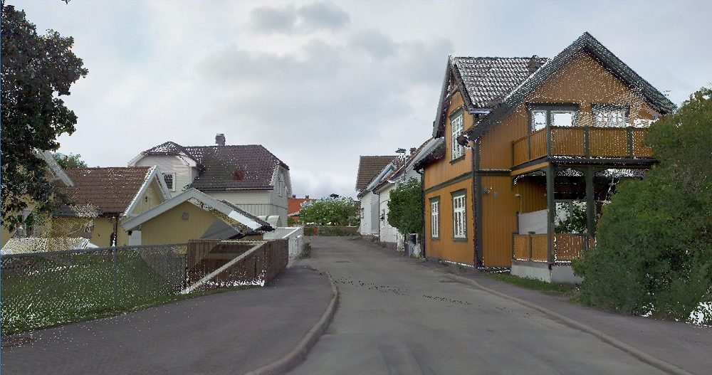
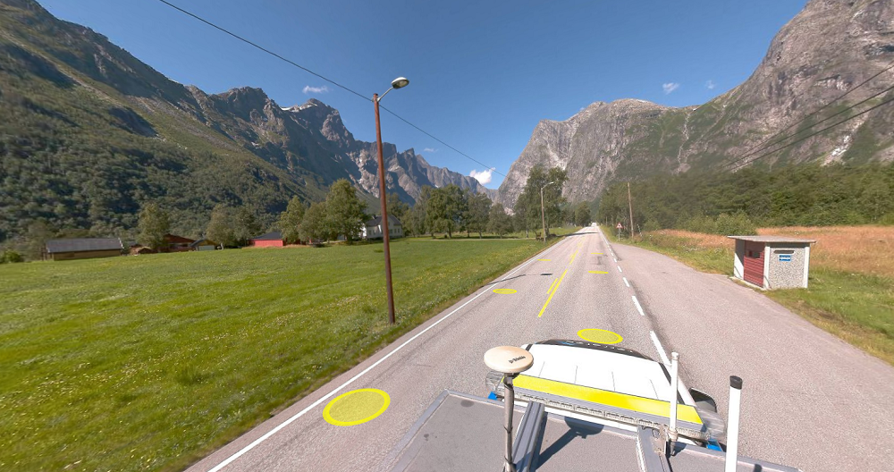
Mobile mapping is a highly efficient method for collecting extensive geospatial data from a moving vehicle. With laser scanners mounted on the rear of our vehicles, we can collect millions of points per second at speeds of up to 80 kilometers per hour. The points are georeferenced with the aid of GNSS and IMU and land surveyed control points on the ground. Together they make up a detailed point cloud well suited for mapping 3D vector objects and as a basis for creating a terrain model.
We deliver mobile mapping through three systems: Optech LYNX SG1, ViaTech System, and Viking.
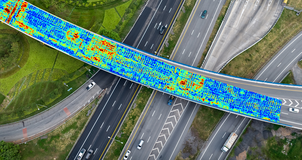
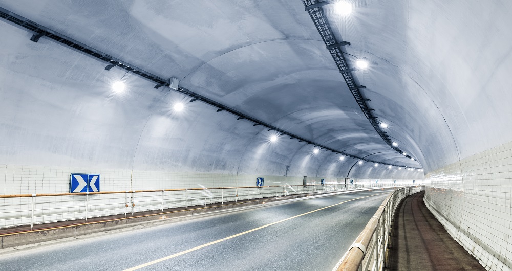
The sensors are optimal for collecting large amounts of data quickly, particularly in areas that are difficult to access with traditional land surveying methods, such as busy streets, operational airports, tunnels, railways and city centers.
By using this method, data can be collected without disturbing traffic or closing road lanes. Laser scanning using mobile mapping gives accurate and detailed data of an area. Our team further processes this data to form the basis of several products.
We can deliver mobile mapping in several ways. We drive our vehicles on roads, tunnels, mines and quarries, and inside buildings. And we can place the system on flat railway cars to map railways and barges to scan waterfronts. We also record images and videos while scanning. These are very useful for documentation, planning, and as a practical replacement for site reconnaissance.
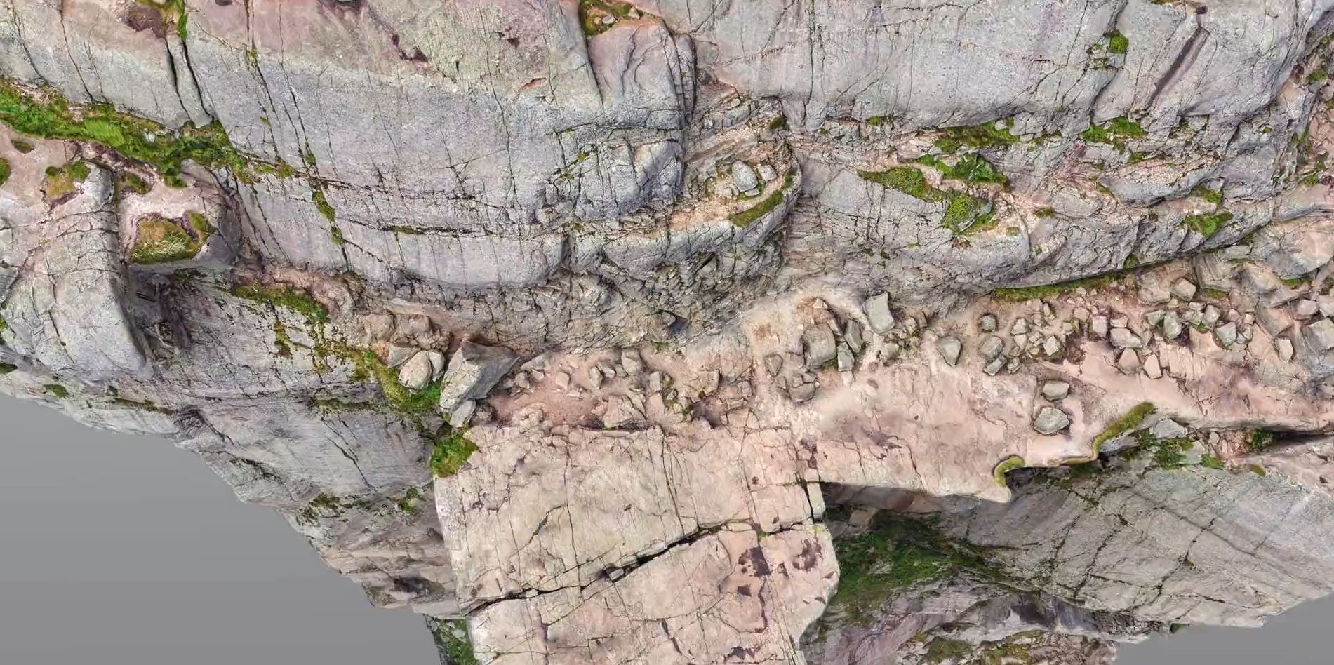
Mobile laser scan point cloud with RGB colors
Get in touch
Finland
Petteri Ryönänkoski
+ 358 400 928 739
petteri.ryonankoski@field.group
Sweden
Bodil Sundberg
+46 703 60 4682
bodil.sundberg@field.group
Norway
Dag Solberg
+47 971 73 336
dag.solberg@field.group
Mobile Mapping & Geophysics
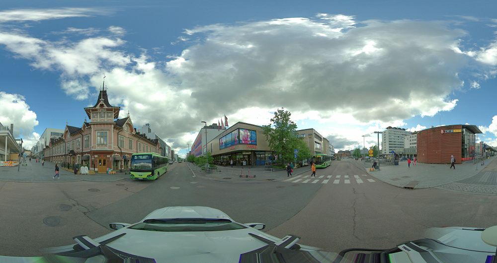
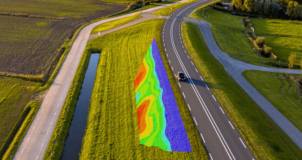
With laser scanners mounted on a car, we can acquire millions of points per second. This very detailed point cloud is used for creating 3D vector models and it is a basis for producing a TIN-model for advanced applications. At the same time with scanning, images and video can be captured. The images are 360-degree street view imagery that can be accessed and used in a separate web viewer, Mapspace. We can also collect information about road conditions and map utilities, groundwater and bedrock using ground penetrating radar. Explore our other Mobile Mapping & Geophysical Services below.
Geospatial solutions powered by software, sensors, and AI technologies
Join us and help capture and transform accurate geospatial data into valuable insights and digital twins.